Uruti Suburbs & Region, Uruti Map & Postcodes in Uruti, New Plymouth, Taranaki
Uruti Postcodes, Uruti ZipCodes, Uruti , Uruti Taranaki, Uruti Suburbs, Uruti Region, Uruti Map, Uruti Area
Uruti Region
Uruti Suburbs
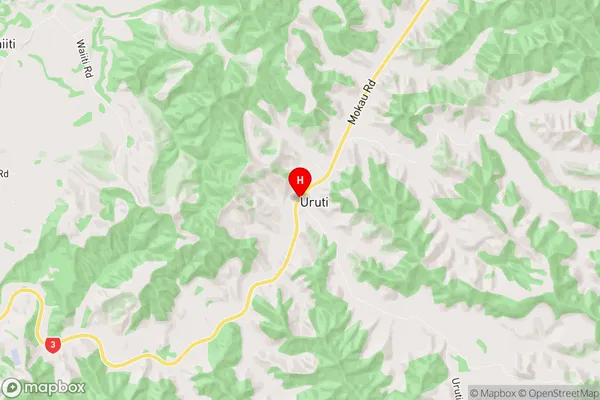
Uruti is a suburb place type in New Plymouth, Taranaki, NZ. It contains 0 suburbs or localities.Uruti Region Map
Uruti Introduction
Uruti is a small rural community located in the Taranaki region of New Zealand. It is situated on the banks of the Taranaki River, approximately 30 kilometers south of New Plymouth. The community has a population of around 100 people and is known for its scenic surroundings, including rolling hills, farmland, and native forests. Uruti has a primary school, a post office, and a small supermarket. The area is popular with outdoor enthusiasts, with many walking and hiking trails nearby. The community also hosts a annual music festival, which attracts musicians and music lovers from around the region.Uruti Region
Uruti City
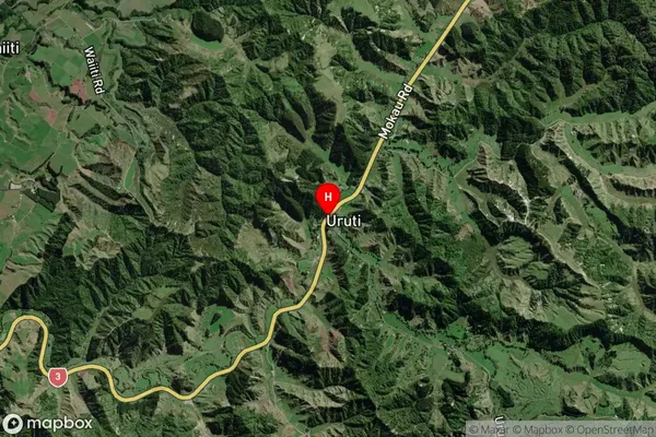
Uruti Satellite Map
Full Address
Uruti, New Plymouth, TaranakiUruti Coordinates
-38.9443518,174.5284634 (Latitude / Longitude)Uruti Map in NZ
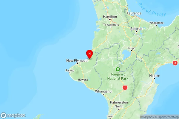
NZ Island
North IslandCountry
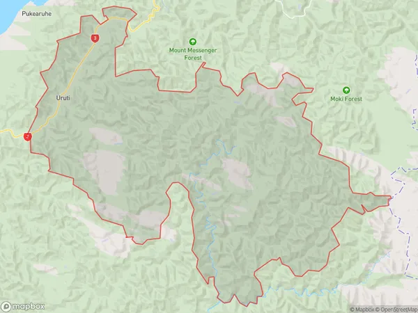
Uruti Area Map (Polygon)
Name
UrutiAdditional Name
Local Authority
New Plymouth District
Uruti Suburbs (Sort by Population)
Uruti suburb has around
235.2 square
kilometers.There are more than 133 people (estimated)
live in Uruti, New Plymouth, Taranaki, New Zealand.