Ferndale Area, Ferndale Postcode(4371) & Map in Ferndale
Ferndale Area, Ferndale Postcode(4371) & Map in Ferndale, New Plymouth District, New Zealand
Ferndale, New Plymouth District, New Zealand
Ferndale Area (estimated)
0.9 square kilometersFerndale Population (estimated)
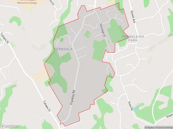
828 people live in Ferndale, New Plymouth, NZFerndale Suburb Area Map (Polygon)
Ferndale Introduction
Ferndale is a suburb of New Plymouth, Taranaki, New Zealand. It is located on the western side of the city, near the intersection of State Highway 1 and SH 3. The suburb has a population of around 10,000 people and is known for its historic buildings, including the Ferndale Hotel and the St. John's Anglican Church. It also has a popular shopping district with a variety of stores and restaurants.Region
Major City
Suburb Name
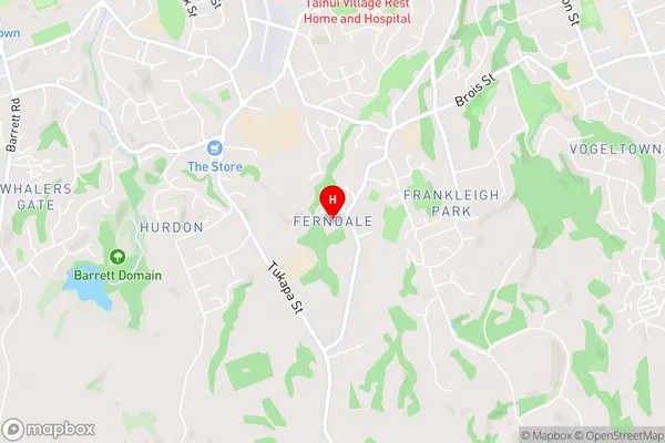
FerndaleFerndale Area Map (Street)
Local Authority
New Plymouth DistrictFull Address
Ferndale, New Plymouth District, New ZealandAddress Type
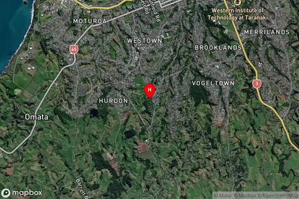
Suburb in City New PlymouthFerndale Suburb Map (Satellite)
Country
Main Region in AU
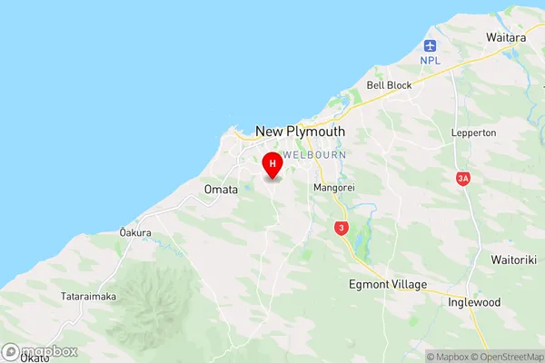
TaranakiFerndale Region Map
Coordinates
-39.0874704,174.0597733 (latitude/longitude)Distances
The distance from Ferndale, New Plymouth, New Plymouth District to NZ Top 10 Cities