Moturoa Suburbs & Region, Moturoa Map & Postcodes in Moturoa, New Plymouth, Taranaki
Moturoa Postcodes, Moturoa ZipCodes, Moturoa , Moturoa Taranaki, Moturoa Suburbs, Moturoa Region, Moturoa Map, Moturoa Area
Moturoa Region (Nga Motu/Sugar Loaf Islands, North Taranaki Bight Region)
Moturoa Suburbs
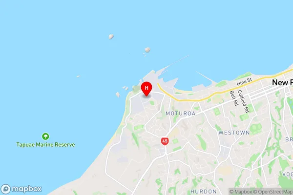
Moturoa is a suburb place type in New Plymouth, Taranaki, NZ. It contains 0 suburbs or localities.Moturoa Region Map

Moturoa Introduction
Moturoa Island is a small, uninhabited island located in the Taranaki region of New Zealand. It is known for its stunning natural beauty, including rugged cliffs, crystal-clear waters, and diverse marine life. The island is a popular destination for hiking, camping, and snorkeling, and is part of the Moturoa Island Marine Reserve, which is a protected area covering over 100 square kilometers. The island has a rich history, including its role as a penal colony in the 19th century. It was also used as a training base for New Zealand soldiers during World War II. Today, Moturoa Island is a peaceful and tranquil place, with a small population of native birds and a variety of plant and animal species. It is an important part of New Zealand's cultural heritage and is a popular tourist attraction.Moturoa Region
Moturoa City
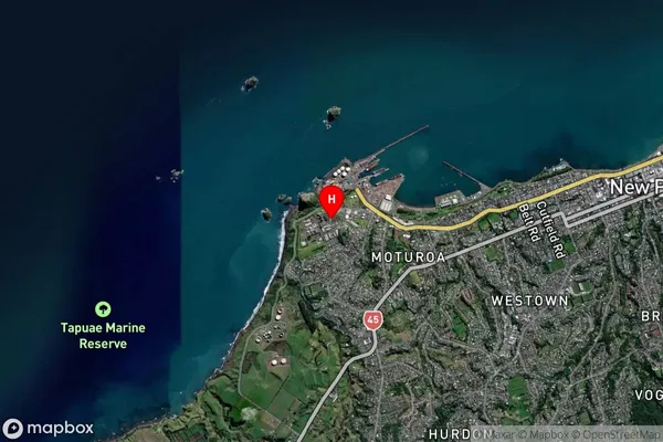
Moturoa Satellite Map

Full Address
Moturoa, New Plymouth, TaranakiMoturoa Coordinates
-39.062104,174.027278 (Latitude / Longitude)Moturoa Map in NZ

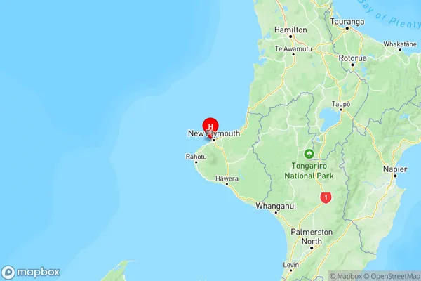
NZ Island
North IslandCountry
Moturoa Area Map (Polygon)

Name
MoturoaAdditional Name
Nga Motu/Sugar Loaf Islands, North Taranaki Bight (Maori Name: Ngā Motu/Sugar Loaf Islands, North Taranaki Bight)Local Authority
New Plymouth District
Moturoa Suburbs (Sort by Population)
Moturoa also known as Nga Motu/Sugar Loaf Islands, North Taranaki Bight. Moturoa suburb has around
0.0 square
kilometers.There are more than 0 people (estimated)
live in Moturoa, New Plymouth, Waikato, New Zealand.