Moturoa Area, Moturoa Postcode(4310) & Map in Moturoa
Moturoa Area, Moturoa Postcode(4310) & Map in Moturoa, New Plymouth District, New Zealand
Moturoa, New Plymouth District, New Zealand
Moturoa Postcodes
Moturoa Area (estimated)
0.0 square kilometersMoturoa Population (estimated)
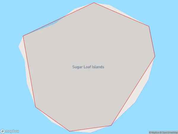
0 people live in Moturoa, Waikato, NZMoturoa Suburb Area Map (Polygon)
Moturoa Introduction
Moturoa Island is a small, uninhabited island in the Bay of Islands, New Zealand. It is known for its stunning natural beauty, including rugged cliffs, pristine beaches, and diverse marine life. The island is a popular destination for hiking, snorkeling, and kayaking, and is also home to a small research facility operated by the University of Waikato. Moturoa Island is accessible by ferry from Paihia or Russell.Region
Suburb Name
MoturoaOther Name(s)
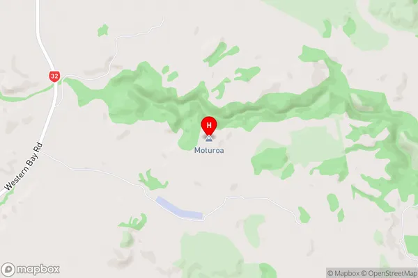
Nga Motu/Sugar Loaf Islands, North Taranaki Bight (Maori Name: Ngā Motu/Sugar Loaf Islands, North Taranaki Bight)Moturoa Area Map (Street)
Local Authority
New Plymouth DistrictFull Address
Moturoa, New Plymouth District, New ZealandAddress Type
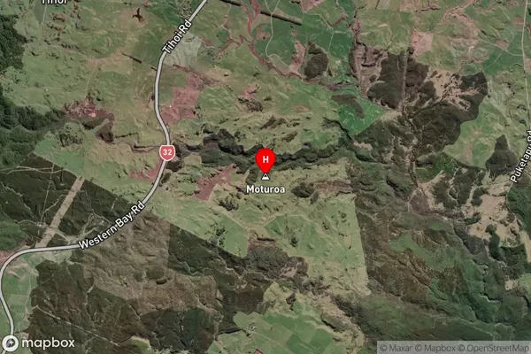
IslandMoturoa Suburb Map (Satellite)
Country
Main Region in AU
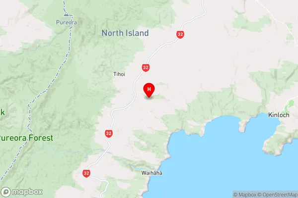
WaikatoMoturoa Region Map
Coordinates
-38.642807,175.742929 (latitude/longitude)Distances
The distance from Moturoa, , New Plymouth District to NZ Top 10 Cities