Tataraimaka Area, Tataraimaka Postcode(4314) & Map in Tataraimaka
Tataraimaka Area, Tataraimaka Postcode(4314) & Map in Tataraimaka, New Plymouth District, New Zealand
Tataraimaka, New Plymouth District, New Zealand
Tataraimaka Postcodes
Tataraimaka Area (estimated)
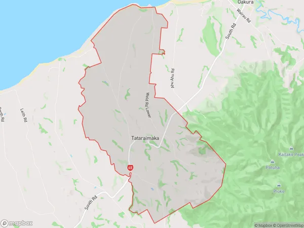
18.7 square kilometersTataraimaka Population (estimated)
226 people live in Tataraimaka, Taranaki, NZTataraimaka Suburb Area Map (Polygon)
Tataraimaka Introduction
Tataraimaka is a suburb of New Plymouth, Taranaki, New Zealand. It is located on the western side of the city, near the base of the Taranaki Mountain Range. The suburb has a population of around 1,200 people and is known for its scenic views and peaceful atmosphere. Tataraimaka is home to a variety of recreational facilities, including a golf course, a bowling club, and a sports park. The area is also popular with hikers and mountain bikers, who enjoy the nearby trails and tracks.Region
Major City
Suburb Name
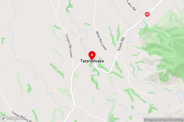
TataraimakaTataraimaka Area Map (Street)
Local Authority
New Plymouth DistrictFull Address
Tataraimaka, New Plymouth District, New ZealandAddress Type
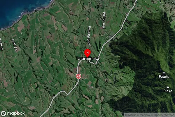
Locality in City New PlymouthTataraimaka Suburb Map (Satellite)
Country
Main Region in AU
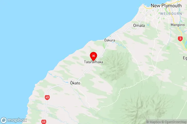
TaranakiTataraimaka Region Map
Coordinates
-39.1549184,173.9206172 (latitude/longitude)Distances
The distance from Tataraimaka, New Plymouth, New Plymouth District to NZ Top 10 Cities