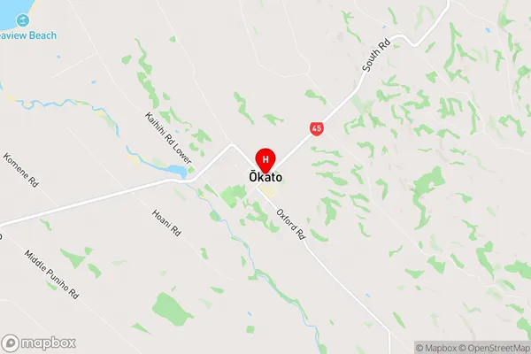
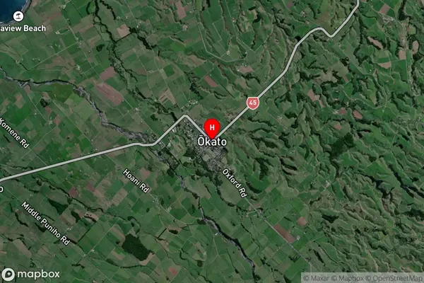
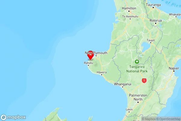
Okato Suburbs & Region, Okato Map & Postcodes in Okato, New Plymouth, Taranaki

Okato Postcodes, Okato ZipCodes, Okato , Okato Taranaki, Okato Suburbs, Okato Region, Okato Map, Okato Area

Okato Region

  • Okato Suburbs

    Okato is a suburb place type in New Plymouth, Taranaki, NZ. It contains 1 suburbs or localities.
  • Okato Postcodes

    433543484381
  • Okato Region Map

    Okato, Taranaki Region Map
  • Okato Introduction

    Okato is a small town located in the Taranaki region of New Zealand. It is situated on the banks of the Okato River and is known for its picturesque gardens and historic buildings. The town has a population of around 2,000 people and is a popular destination for tourists and locals alike. The area is rich in history, with several important archaeological sites nearby, including the Okato Pa, a stone fortification built by the Māori people in the 13th century. The town also has a variety of recreational facilities, including a golf course, a swimming pool, and a sports complex.
  • Okato Region

  • Okato City

  • Okato Satellite Map

    Okato, Taranaki Satellite Map
  • Full Address

    Okato, New Plymouth, Taranaki
  • Okato Coordinates

    -39.190998,173.879982 (Latitude / Longitude)
  • Okato Map in NZ

    Okato, Taranaki Region Map
  • NZ Island

    North Island
  • Okato Area Map (Polygon)

    Okato, Taranaki Polygon Area Map
  • Name

    Okato
  • Additional Name

  • Local Authority

    New Plymouth District, South Taranaki District

Okato Suburbs (Sort by Population)

Okato Suburbs (Sort in alphabetical)