Merrilands Suburbs & Region, Merrilands Map & Postcodes in Merrilands, New Plymouth, Taranaki
Merrilands Postcodes, Merrilands ZipCodes, Merrilands , Merrilands Taranaki, Merrilands Suburbs, Merrilands Region, Merrilands Map, Merrilands Area
Merrilands Region
Merrilands Suburbs
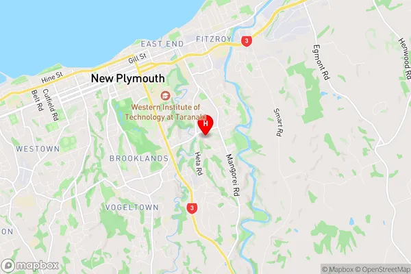
Merrilands is a suburb place type in New Plymouth, Taranaki, NZ. It contains 0 suburbs or localities.Merrilands Region Map

Merrilands Introduction
Merrilands is a suburb of New Plymouth, Taranaki, New Zealand. It is located on the western side of the city, near the intersection of State Highway 1 and the Southern Cross Highway. The suburb has a population of around 2,000 people and is known for its peaceful atmosphere and scenic surroundings. It is surrounded by green fields and native bush, and is within easy walking distance of the New Plymouth CBD. Merrilands has a variety of housing options, including single-family homes, apartments, and townhouses. The suburb also has a number of recreational facilities, including a golf course, a bowling club, and a sports park.Merrilands Region
Merrilands City
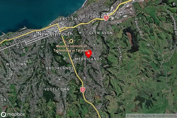
Merrilands Satellite Map

Full Address
Merrilands, New Plymouth, TaranakiMerrilands Coordinates
-39.06941,174.100132 (Latitude / Longitude)Merrilands Map in NZ

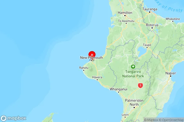
NZ Island
North IslandCountry
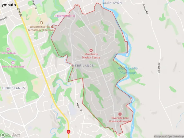
Merrilands Area Map (Polygon)

Name
MerrilandsAdditional Name
Local Authority
New Plymouth District
Merrilands Suburbs (Sort by Population)
Merrilands suburb has around
3.2 square
kilometers.There are more than 4283 people (estimated)
live in Merrilands, New Plymouth, Taranaki, New Zealand.