Timaru Suburbs & Region, Timaru Map & Postcodes in Timaru, Canterbury
Timaru Postcodes, Timaru ZipCodes, Timaru , Timaru Canterbury, Timaru Suburbs, Timaru Region, Timaru Map, Timaru Area
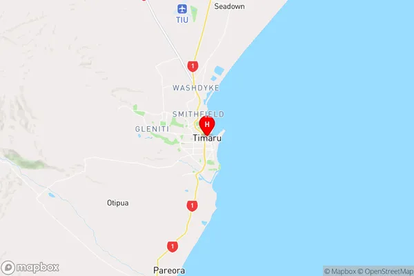
Timaru Region
Timaru Suburbs
Timaru is a city place type in Canterbury, NZ. It contains 31 suburbs or localities.Timaru Region Map
Timaru Introduction
Timaru is a city in Canterbury, New Zealand, with a population of around 70,000 people. It is known for its historic buildings, including the Timaru Herald Building, which is the oldest newspaper building in New Zealand. The city is also home to a number of museums, including the Timaru Art Gallery and the Timaru Botanic Garden. Timaru is located on the Pacific coast of New Zealand's South Island and is a popular tourist destination, with many visitors coming to see the city's historic landmarks and enjoy the outdoor activities that the region offers.Timaru Region
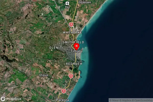
Timaru Satellite Map
Full Address
Timaru, CanterburyTimaru Coordinates
-44.393025,171.250979 (Latitude / Longitude)Timaru Map in NZ
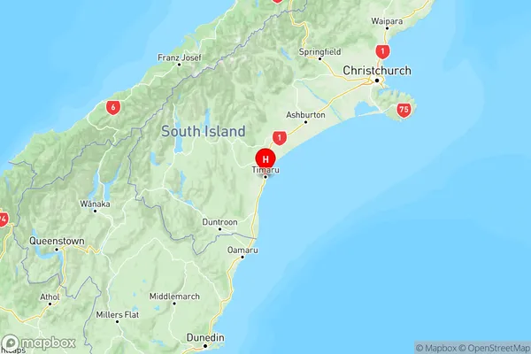
NZ Island
South IslandCountry
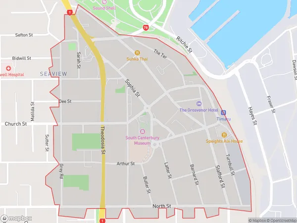
Timaru Area Map (Polygon)
Name
TimaruAdditional Name
Local Authority
Timaru District
Timaru Suburbs (Sort by Population)
Marchwiel
Marchwiel - 4039Highfield
Highfield - 3762Gleniti
Gleniti - 2994West End
West End - 2766Parkside
Parkside - 2634Seaview
Seaview - 2277Watlington
Watlington - 2028Glenwood
Glenwood - 1855Waimataitai
Waimataitai - 1655Kensington
Kensington - 1527Maori Hill
Maori Hill - 1149Claremont
Claremont - 718Levels
Levels - 634Washdyke
Washdyke - 609Timaru
Timaru - 592Oceanview
Oceanview - 548Fairview
Fairview - 444Levels Valley
Levels Valley - 431Kerrytown
Kerrytown - 342Pareora West
Pareora West - 235Hadlow
Hadlow - 234Rosewill
Rosewill - 200Otipua Creek
Otipua Creek - 195Normanby
Normanby - 187Washdyke Flat
Washdyke Flat - 112Redruth
Redruth - 96Salisbury
Salisbury - 96Adair
Adair - 69Timaru Port
Timaru Port - 47Scarborough
Scarborough - 46Smithfield
Smithfield - 4
Timaru Suburbs (Sort in alphabetical)
Clandeboye
Claremont
Fairview
Geraldine
Gleniti
Glenwood
Hadlow
Highfield
Kensington
Levels
Maori Hill
Marchwiel
Mesopotamia
Pareora
Parkside
Pleasant Point
Redruth
Rosewill
Seadown
Seaview
Smithfield
Temuka
Timaru Central
Waimataitai
Washdyke
Watlington
West End
Winchester