Gleniti Suburbs & Region, Gleniti Map & Postcodes in Gleniti, Timaru, Canterbury
Gleniti Postcodes, Gleniti ZipCodes, Gleniti , Gleniti Canterbury, Gleniti Suburbs, Gleniti Region, Gleniti Map, Gleniti Area
Gleniti Region
Gleniti Suburbs
Gleniti is a suburb place type in Timaru, Canterbury, NZ. It contains 0 suburbs or localities.Gleniti Postcodes
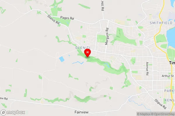
Gleniti Region Map
Gleniti Introduction
Gleniti is a small rural community in Canterbury, New Zealand. It is located in the Ashburton District and is situated on the banks of the Gleniti River. The community has a population of around 100 people and is known for its scenic surroundings and peaceful atmosphere. The area is popular with outdoor enthusiasts, with many opportunities for hiking, fishing, and hunting. The nearest town is Ashburton, which is about 10 kilometers away, and the nearest city is Christchurch, which is about 120 kilometers away.Gleniti Region
Gleniti City
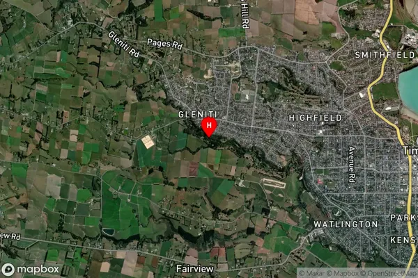
Gleniti Satellite Map
Full Address
Gleniti, Timaru, CanterburyGleniti Coordinates
-44.390981,171.198943 (Latitude / Longitude)Gleniti Map in NZ
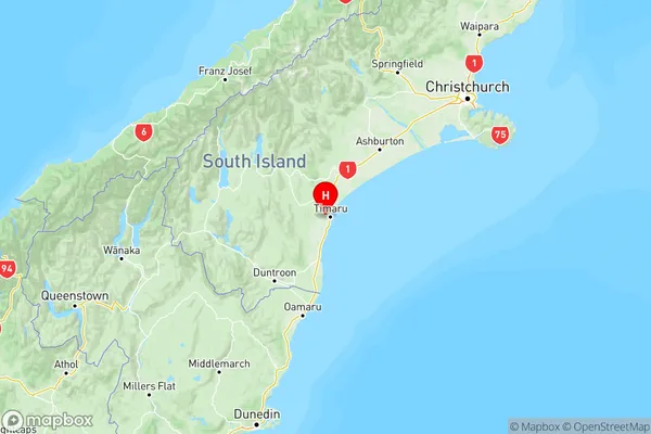
NZ Island
South IslandCountry
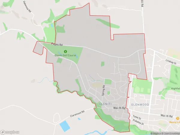
Gleniti Area Map (Polygon)
Name
GlenitiAdditional Name
Local Authority
Timaru District
Gleniti Suburbs (Sort by Population)
Gleniti suburb has around
5.4 square
kilometers.There are more than 2994 people (estimated)
live in Gleniti, Timaru, Canterbury, New Zealand.