Smithfield Area, Smithfield Postcode(7910) & Map in Smithfield
Smithfield Area, Smithfield Postcode(7910) & Map in Smithfield, Timaru District, New Zealand
Smithfield, Timaru District, New Zealand
Smithfield Postcodes
Smithfield Area (estimated)
0.6 square kilometersSmithfield Population (estimated)
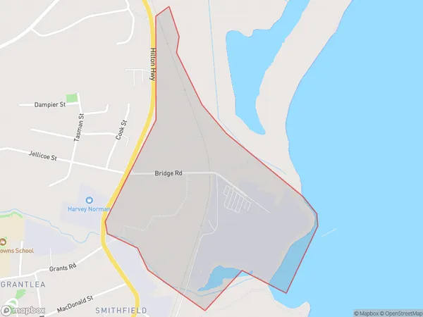
4 people live in Smithfield, Canterbury, NZSmithfield Suburb Area Map (Polygon)
Smithfield Introduction
Smithfield is a suburb of Timaru, Canterbury, New Zealand. It is located on the eastern side of the city, near the Timaru Airport. The suburb has a variety of shops, restaurants, and recreational facilities, including a golf course and a swimming pool. Smithfield is also home to a number of historic buildings, including the Smithfield Hotel and the Smithfield Railway Station.Region
Major City
Suburb Name
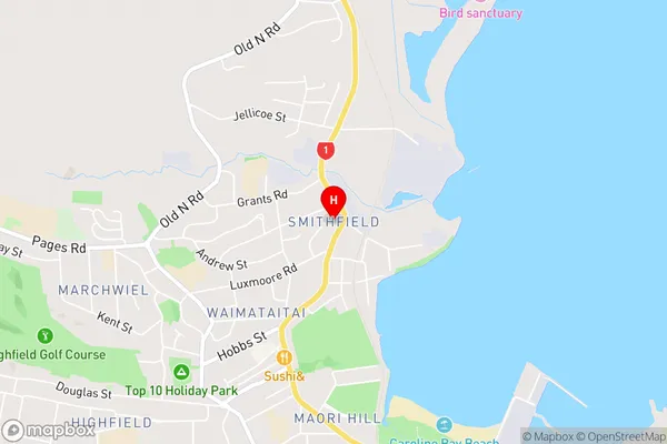
SmithfieldSmithfield Area Map (Street)
Local Authority
Timaru DistrictFull Address
Smithfield, Timaru District, New ZealandAddress Type
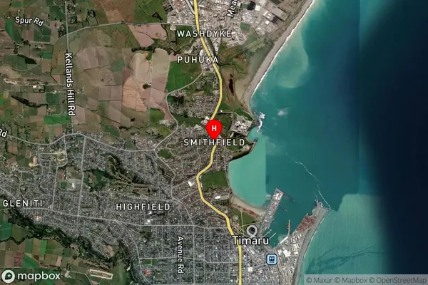
Suburb in Town TimaruSmithfield Suburb Map (Satellite)
Country
Main Region in AU
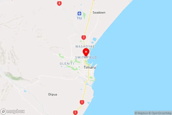
CanterburySmithfield Region Map
Coordinates
-44.3761618,171.2422176 (latitude/longitude)Distances
The distance from Smithfield, Timaru, Timaru District to NZ Top 10 Cities