Pareora West Area, Pareora West Postcode(7972) & Map in Pareora West
Pareora West Area, Pareora West Postcode(7972) & Map in Pareora West, Timaru District, New Zealand
Pareora West, Timaru District, New Zealand
Pareora West Postcodes
Pareora West Area (estimated)
35.1 square kilometersPareora West Population (estimated)
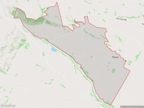
235 people live in Pareora West, Canterbury, NZPareora West Suburb Area Map (Polygon)
Pareora West Introduction
Pareora West is a small rural community located in the Timaru District of Canterbury, New Zealand. It is situated on the banks of the Pareora River and is known for its picturesque scenery, including rolling hills, farmland, and native forests. The community has a population of around 500 people and is home to a variety of businesses, including a primary school, a convenience store, and a pub. Pareora West is a popular destination for outdoor enthusiasts, with numerous hiking and cycling trails nearby. The area is also known for its agricultural production, with a number of farms specializing in sheep and beef farming.Region
Major City
Suburb Name
Pareora WestOther Name(s)
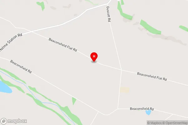
Kingsdown, OtipuaPareora West Area Map (Street)
Local Authority
Timaru DistrictFull Address
Pareora West, Timaru District, New ZealandAddress Type
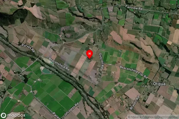
Locality in Town TimaruPareora West Suburb Map (Satellite)
Country
Main Region in AU
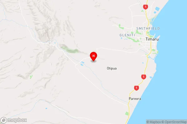
CanterburyPareora West Region Map
Coordinates
-44.4291368,171.1220384 (latitude/longitude)Distances
The distance from Pareora West, Timaru, Timaru District to NZ Top 10 Cities