Levels Area, Levels Postcode(7940) & Map in Levels
Levels Area, Levels Postcode(7940) & Map in Levels, Timaru District, New Zealand
Levels, Timaru District, New Zealand
Levels Postcodes
Levels Area (estimated)
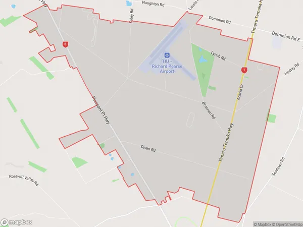
25.5 square kilometersLevels Population (estimated)
634 people live in Levels, Canterbury, NZLevels Suburb Area Map (Polygon)
Levels Introduction
Levels is a small rural town in Canterbury, New Zealand, located on the banks of the Waimakariri River. It is known for its picturesque rural scenery, historic buildings, and friendly community. The town has a population of around 3,000 people and is a popular destination for tourists and outdoor enthusiasts.Region
Major City
Suburb Name
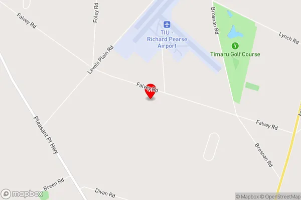
LevelsLevels Area Map (Street)
Local Authority
Timaru DistrictFull Address
Levels, Timaru District, New ZealandAddress Type
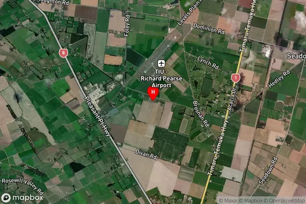
Locality in Town TimaruLevels Suburb Map (Satellite)
Country
Main Region in AU
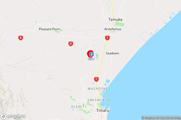
CanterburyLevels Region Map
Coordinates
-44.3103861,171.2234364 (latitude/longitude)Distances
The distance from Levels, Timaru, Timaru District to NZ Top 10 Cities