Rosewill Suburbs & Region, Rosewill Map & Postcodes in Rosewill, Timaru, Canterbury
Rosewill Postcodes, Rosewill ZipCodes, Rosewill , Rosewill Canterbury, Rosewill Suburbs, Rosewill Region, Rosewill Map, Rosewill Area
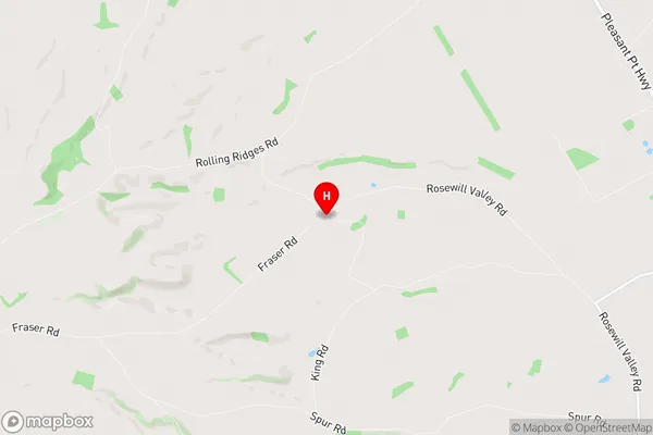
Rosewill Region (Rosewill Valley Region)
Rosewill Suburbs
Rosewill is a suburb place type in Timaru, Canterbury, NZ. It contains 0 suburbs or localities.Rosewill Region Map
Rosewill Introduction
Rosewill is a small rural town located in the Canterbury region of New Zealand. It is situated approximately 10 kilometers south of Christchurch and 12 kilometers north of Ashburton. The town has a population of around 1,000 people and is known for its picturesque rural setting, with rolling hills and farmland surrounding the town. Rosewill has a primary school, a post office, a convenience store, and a community hall. The town is also home to a number of historic buildings, including the Rosewill Hotel, which was built in the 1880s. The area is popular with outdoor enthusiasts, with numerous walking and cycling trails nearby.Rosewill Region
Rosewill City
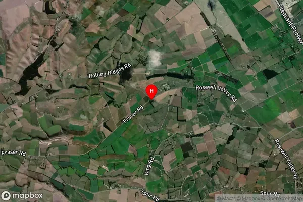
Rosewill Satellite Map
Full Address
Rosewill, Timaru, CanterburyRosewill Coordinates
-44.332593,171.157501 (Latitude / Longitude)Rosewill Map in NZ
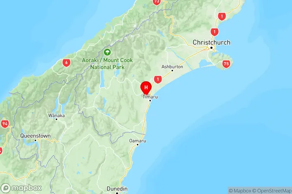
NZ Island
South IslandCountry
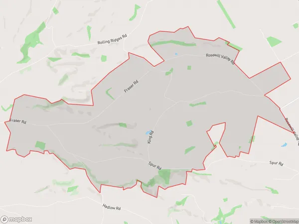
Rosewill Area Map (Polygon)
Name
RosewillAdditional Name
Rosewill ValleyLocal Authority
Timaru District
Rosewill Suburbs (Sort by Population)
Rosewill also known as Rosewill Valley. Rosewill suburb has around
22.3 square
kilometers.There are more than 200 people (estimated)
live in Rosewill, Timaru, Canterbury, New Zealand.