Fairview Area, Fairview Postcode(7910) & Map in Fairview
Fairview Area, Fairview Postcode(7910) & Map in Fairview, Timaru District, New Zealand
Fairview, Timaru District, New Zealand
Fairview Postcodes
Fairview Area (estimated)
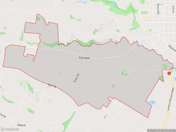
17.1 square kilometersFairview Population (estimated)
444 people live in Fairview, Canterbury, NZFairview Suburb Area Map (Polygon)
Fairview Introduction
Fairview is a suburb of Timaru, Canterbury, New Zealand. It is located on the eastern side of the city, approximately 5 km from the central business district. Fairview has a population of around 4,500 people and is known for its historic homes and gardens. The suburb has a variety of shops, cafes, and restaurants, as well as a medical center and a library. Fairview is also home to a number of parks and recreational facilities, including a golf course and a sports stadium.Region
Major City
Suburb Name
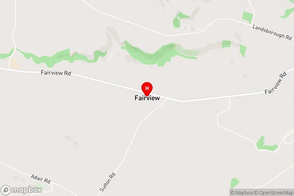
FairviewFairview Area Map (Street)
Local Authority
Timaru DistrictFull Address
Fairview, Timaru District, New ZealandAddress Type
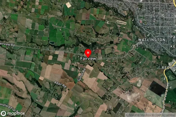
Locality in Town TimaruFairview Suburb Map (Satellite)
Country
Main Region in AU
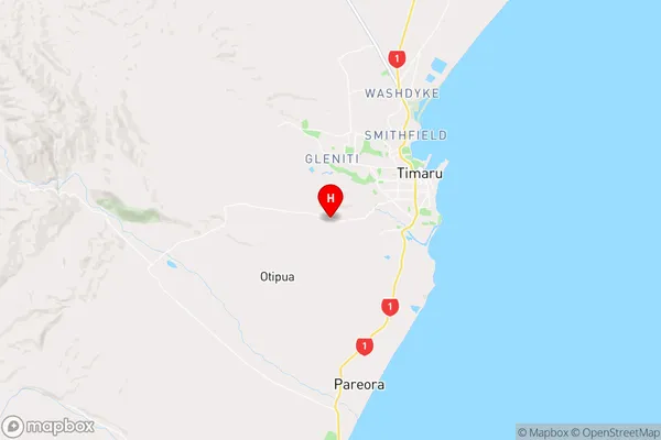
CanterburyFairview Region Map
Coordinates
-44.4138721,171.1953807 (latitude/longitude)Distances
The distance from Fairview, Timaru, Timaru District to NZ Top 10 Cities