Clandeboye Suburbs & Region, Clandeboye Map & Postcodes in Clandeboye, Timaru, Canterbury
Clandeboye Postcodes, Clandeboye ZipCodes, Clandeboye , Clandeboye Canterbury, Clandeboye Suburbs, Clandeboye Region, Clandeboye Map, Clandeboye Area
Clandeboye Region
Clandeboye Suburbs
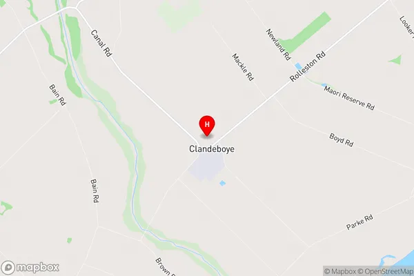
Clandeboye is a suburb place type in Timaru, Canterbury, NZ. It contains 0 suburbs or localities.Clandeboye Region Map
Clandeboye Introduction
Clandeboye is a small rural community located in the Canterbury region of New Zealand. It is situated approximately 20 kilometers south of Christchurch and 10 kilometers north of Ashburton. The area is known for its picturesque countryside, rolling hills, and lush green fields. Clandeboye has a population of around 1,000 people and is home to a variety of businesses, including a primary school, a convenience store, and a pub. The community is also home to a number of historic buildings, including the Clandeboye Homestead, which was built in the 1860s. The homestead is now a popular tourist attraction and is open to the public for tours. Clandeboye is a peaceful and welcoming community that offers a quiet and relaxed lifestyle away from the hustle and bustle of city life.Clandeboye Region
Clandeboye City
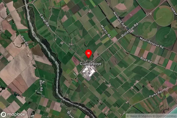
Clandeboye Satellite Map
Full Address
Clandeboye, Timaru, CanterburyClandeboye Coordinates
-44.207301,171.381628 (Latitude / Longitude)Clandeboye Map in NZ
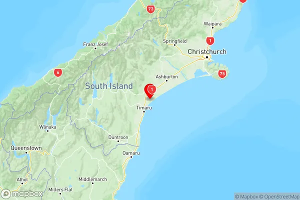
NZ Island
South IslandCountry
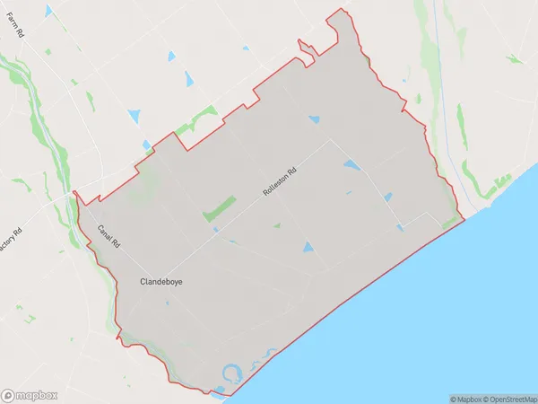
Clandeboye Area Map (Polygon)
Name
ClandeboyeAdditional Name
Local Authority
Timaru District
Clandeboye Suburbs (Sort by Population)
Clandeboye suburb has around
92.4 square
kilometers.There are more than 270 people (estimated)
live in Clandeboye, Timaru, Canterbury, New Zealand.