Clandeboye Area, Clandeboye Postcode(7940) & Map in Clandeboye
Clandeboye Area, Clandeboye Postcode(7940) & Map in Clandeboye, Timaru District, New Zealand
Clandeboye, Timaru District, New Zealand
Clandeboye Postcodes
Clandeboye Area (estimated)
92.4 square kilometersClandeboye Population (estimated)
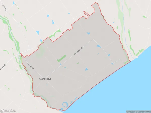
270 people live in Clandeboye, Canterbury, NZClandeboye Suburb Area Map (Polygon)
Clandeboye Introduction
Clandeboye is a small rural community in Temuka, Canterbury, New Zealand. It is known for its picturesque rural setting, historic buildings, and friendly community. The area is popular with tourists and outdoor enthusiasts, who enjoy activities such as hiking, cycling, and fishing in the nearby rivers and lakes. Clandeboye also has a primary school and a small supermarket.Region
Major City
Suburb Name
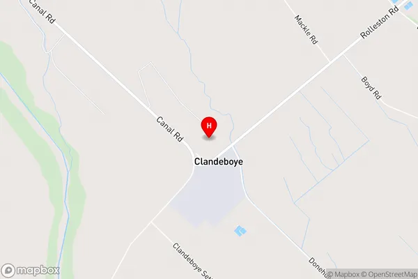
ClandeboyeClandeboye Area Map (Street)
Local Authority
Timaru DistrictFull Address
Clandeboye, Timaru District, New ZealandAddress Type
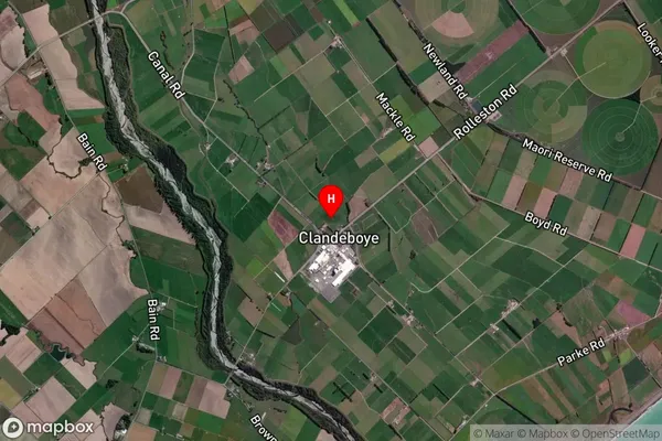
Locality in Town TemukaClandeboye Suburb Map (Satellite)
Country
Main Region in AU
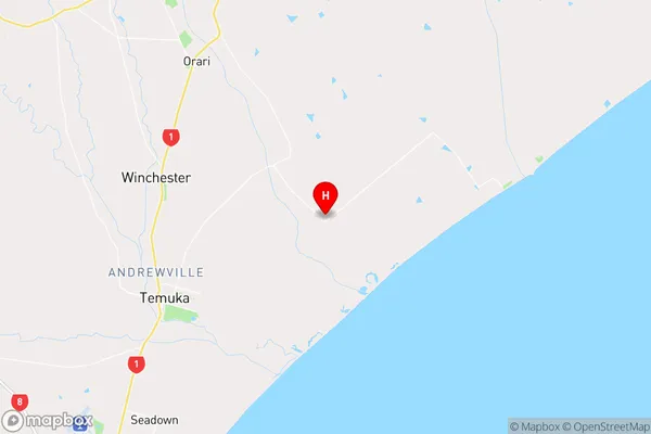
CanterburyClandeboye Region Map
Coordinates
-44.2073009,171.3816278 (latitude/longitude)Distances
The distance from Clandeboye, Temuka, Timaru District to NZ Top 10 Cities