Kensington Suburbs & Region, Kensington Map & Postcodes in Kensington, Timaru, Canterbury
Kensington Postcodes, Kensington ZipCodes, Kensington , Kensington Canterbury, Kensington Suburbs, Kensington Region, Kensington Map, Kensington Area
Kensington Region
Kensington Suburbs
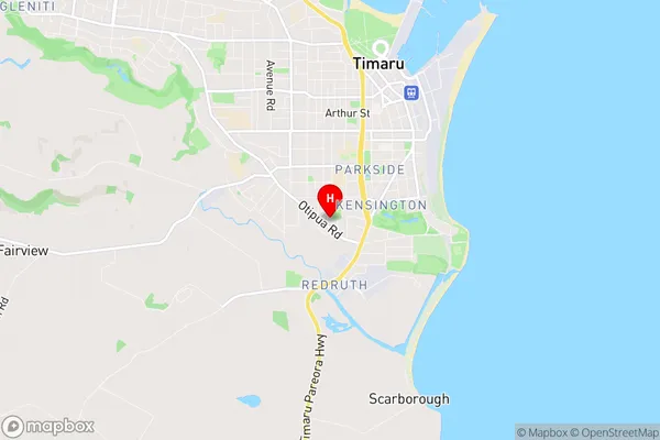
Kensington is a suburb place type in Timaru, Canterbury, NZ. It contains 0 suburbs or localities.Kensington Region Map
Kensington Introduction
Kensington is a suburb of Christchurch, New Zealand, located in the eastern suburbs of the city. It is known for its historic homes, gardens, and vibrant community. The suburb was established in the 1850s and was named after Kensington Palace in London. It is home to a variety of cultural institutions, including the Christchurch Art Gallery, the Canterbury Museum, and the University of Canterbury. Kensington is also a popular shopping destination, with a variety of boutiques, cafes, and restaurants. The suburb is well-connected to the rest of the city, with bus and train services, and is located within walking distance of the CBD.Kensington Region
Kensington City
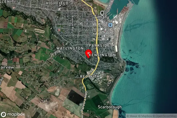
Kensington Satellite Map
Full Address
Kensington, Timaru, CanterburyKensington Coordinates
-44.410468,171.243426 (Latitude / Longitude)Kensington Map in NZ
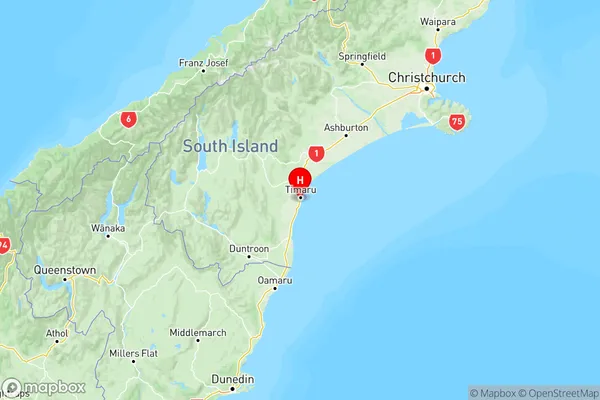
NZ Island
South IslandCountry
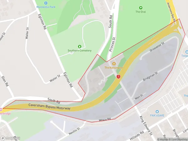
Kensington Area Map (Polygon)
Name
KensingtonAdditional Name
Local Authority
Dunedin City
Kensington Suburbs (Sort by Population)
Kensington suburb has around
0.2 square
kilometers.There are more than 71 people (estimated)
live in Kensington, Dunedin, Otago, New Zealand.