Kensington Area, Kensington Postcode(9016) & Map in Kensington
Kensington Area, Kensington Postcode(9016) & Map in Kensington, Dunedin City, New Zealand
Kensington, Dunedin City, New Zealand
Kensington Area (estimated)
0.2 square kilometersKensington Population (estimated)
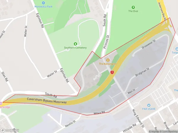
71 people live in Kensington, Dunedin, NZKensington Suburb Area Map (Polygon)
Kensington Introduction
Kensington is a suburb of Dunedin, New Zealand. It is located to the south of the city center, near the University of Otago. Kensington is known for its historic homes and gardens, and for its vibrant community spirit. The suburb has a variety of shops, cafes, and restaurants, and is home to a number of cultural institutions, including the Dunedin Public Art Gallery and the Otago Museum.Region
Major City
Suburb Name
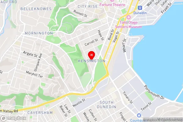
KensingtonKensington Area Map (Street)
Local Authority
Dunedin CityFull Address
Kensington, Dunedin City, New ZealandAddress Type
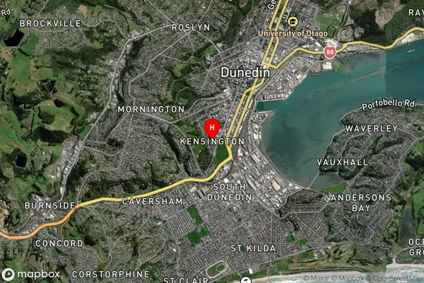
Suburb in City DunedinKensington Suburb Map (Satellite)
Country
Main Region in AU
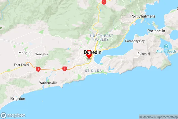
OtagoKensington Region Map
Coordinates
-45.8857812,170.4955174 (latitude/longitude)Distances
The distance from Kensington, Dunedin, Dunedin City to NZ Top 10 Cities