Hadlow Area, Hadlow Postcode(7940) & Map in Hadlow
Hadlow Area, Hadlow Postcode(7940) & Map in Hadlow, Timaru District, New Zealand
Hadlow, Timaru District, New Zealand
Hadlow Postcodes
Hadlow Area (estimated)
8.6 square kilometersHadlow Population (estimated)
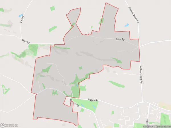
234 people live in Hadlow, Canterbury, NZHadlow Suburb Area Map (Polygon)
Hadlow Introduction
Hadlow is a small town in Canterbury, New Zealand, located on the banks of the Hurunui River. It is known for its historic buildings, including the Hadlow Hotel, which was built in 1878. The town also has a popular golf course and a community hall. Hadlow is a popular destination for tourists and locals alike, with its peaceful atmosphere and scenic surroundings.Region
Major City
Suburb Name
HadlowOther Name(s)
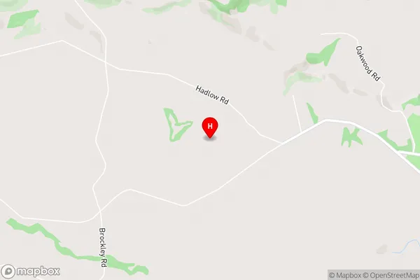
Rosewill ValleyHadlow Area Map (Street)
Local Authority
Timaru DistrictFull Address
Hadlow, Timaru District, New ZealandAddress Type
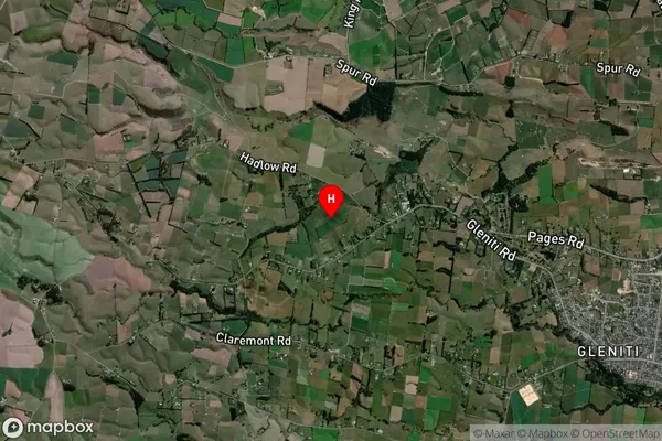
Locality in Town TimaruHadlow Suburb Map (Satellite)
Country
Main Region in AU
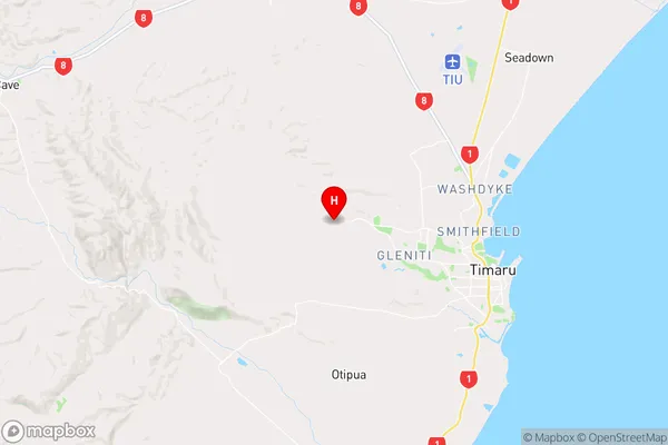
CanterburyHadlow Region Map
Coordinates
-44.372069,171.1530383 (latitude/longitude)Distances
The distance from Hadlow, Timaru, Timaru District to NZ Top 10 Cities