Kensington Area, Kensington Postcode(7910) & Map in Kensington
Kensington Area, Kensington Postcode(7910) & Map in Kensington, Timaru District, New Zealand
Kensington, Timaru District, New Zealand
Kensington Area (estimated)
1.8 square kilometersKensington Population (estimated)
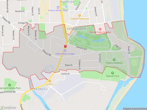
1527 people live in Kensington, Canterbury, NZKensington Suburb Area Map (Polygon)
Kensington Introduction
Kensington is a suburb of Timaru, Canterbury, New Zealand. It is located on the southern bank of the Timaru River, approximately 5 km from the city center. The suburb was established in the 1870s and has a rich history of farming and industry. It is known for its picturesque gardens and historic buildings, including the Kensington Palace, which is now a museum. Kensington is a popular residential area with a variety of housing options, including apartments, houses, and farms. It also has a range of recreational facilities, including a golf course, a swimming pool, and a sports center.Region
Major City
Suburb Name
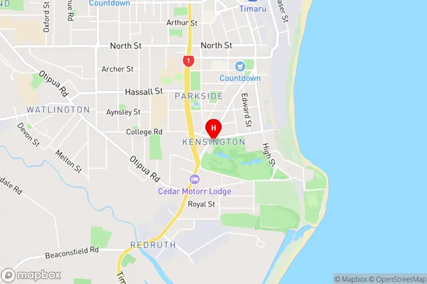
KensingtonKensington Area Map (Street)
Local Authority
Timaru DistrictFull Address
Kensington, Timaru District, New ZealandAddress Type
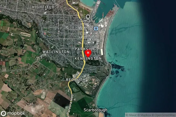
Suburb in Town TimaruKensington Suburb Map (Satellite)
Country
Main Region in AU
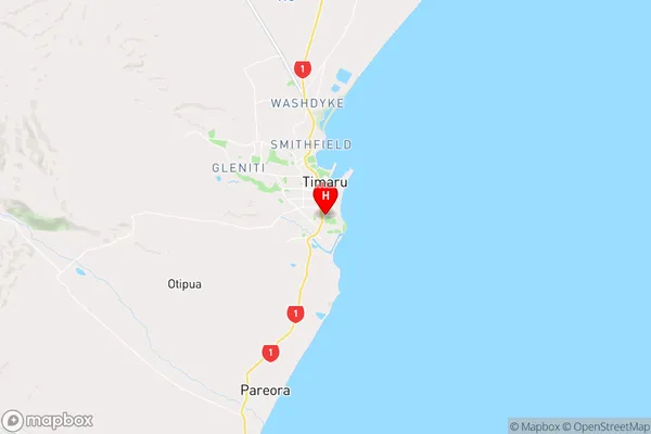
CanterburyKensington Region Map
Coordinates
-44.4088364,171.2513821 (latitude/longitude)Distances
The distance from Kensington, Timaru, Timaru District to NZ Top 10 Cities