Maori Hill Suburbs & Region, Maori Hill Map & Postcodes in Maori Hill, Timaru, Canterbury
Maori Hill Postcodes, Maori Hill ZipCodes, Maori Hill , Maori Hill Canterbury, Maori Hill Suburbs, Maori Hill Region, Maori Hill Map, Maori Hill Area
Maori Hill Region
Maori Hill Suburbs
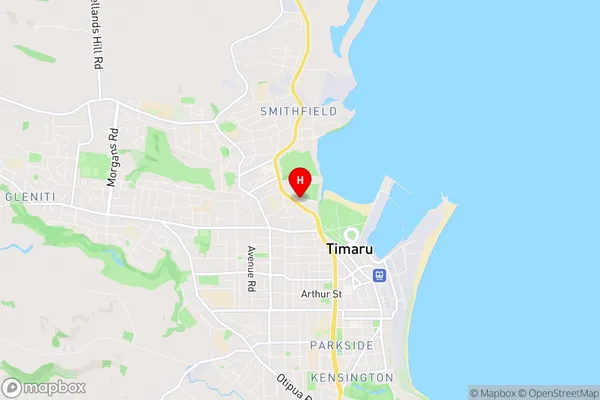
Maori Hill is a suburb place type in Timaru, Canterbury, NZ. It contains 0 suburbs or localities.Maori Hill Region Map
Maori Hill Introduction
Maori Hill is a prominent hill in Christchurch, New Zealand, with a height of 106 meters. It is located in the eastern suburbs of the city and is a popular recreational spot for locals and tourists alike. The hill offers stunning panoramic views of the city, the Canterbury Plains, and the Southern Alps. The area is rich in Maori history and culture, and there are several archaeological sites and landmarks located on the hill. The Maori name for the hill is Te Whare-o-Rongorongo, which means "the house of the long nose." The hill was also the site of a major battle during the New Zealand Wars in 1864.Maori Hill Region
Maori Hill City
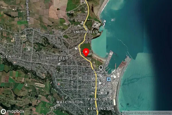
Maori Hill Satellite Map
Full Address
Maori Hill, Timaru, CanterburyMaori Hill Coordinates
-44.387021,171.242487 (Latitude / Longitude)Maori Hill Map in NZ
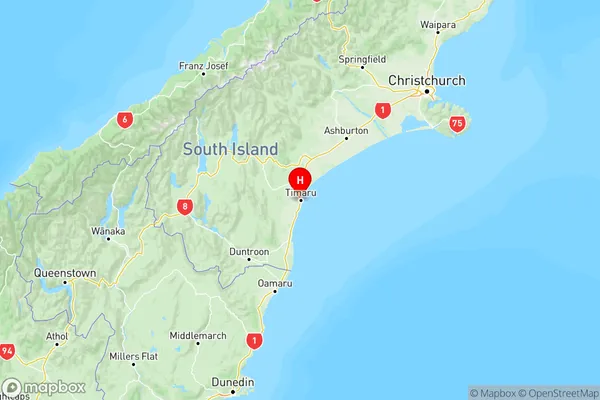
NZ Island
South IslandCountry
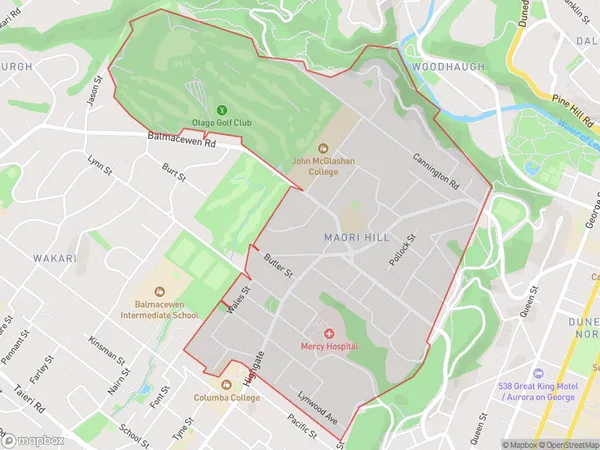
Maori Hill Area Map (Polygon)
Name
Maori HillAdditional Name
Local Authority
Dunedin City
Maori Hill Suburbs (Sort by Population)
Maori Hill suburb has around
1.7 square
kilometers.There are more than 2730 people (estimated)
live in Maori Hill, Dunedin, Otago, New Zealand.