Redruth Area, Redruth Postcode(7910) & Map in Redruth
Redruth Area, Redruth Postcode(7910) & Map in Redruth, Timaru District, New Zealand
Redruth, Timaru District, New Zealand
Redruth Postcodes
Redruth Area (estimated)
1.7 square kilometersRedruth Population (estimated)
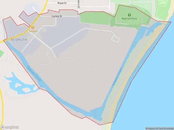
96 people live in Redruth, Canterbury, NZRedruth Suburb Area Map (Polygon)
Redruth Introduction
Redruth is a city in the Canterbury region of New Zealand, located 30 km south of Timaru. It is known for its rich mining history and is home to the Redruth Mountain Bike Park, which offers a range of mountain biking trails for all skill levels. The city also has a vibrant arts and culture scene, with several galleries and museums, including the Redruth Art Gallery and the Timaru Museum.Region
Major City
Suburb Name
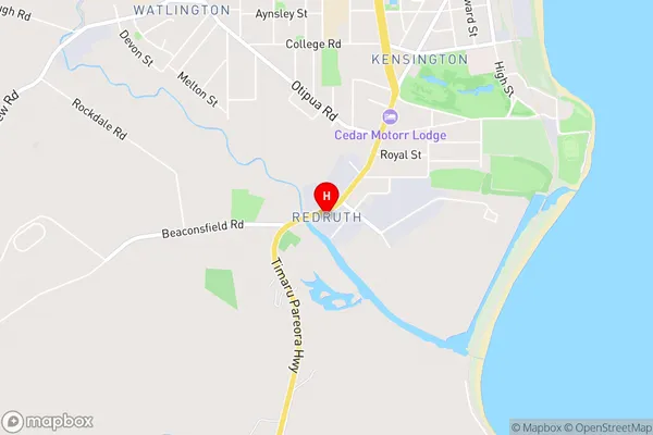
RedruthRedruth Area Map (Street)
Local Authority
Timaru DistrictFull Address
Redruth, Timaru District, New ZealandAddress Type
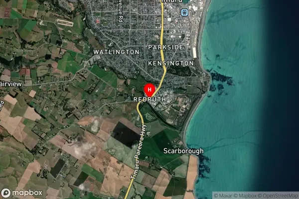
Suburb in Town TimaruRedruth Suburb Map (Satellite)
Country
Main Region in AU
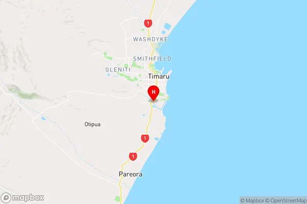
CanterburyRedruth Region Map
Coordinates
-44.4177389,171.2440622 (latitude/longitude)Distances
The distance from Redruth, Timaru, Timaru District to NZ Top 10 Cities