Scarborough Area, Scarborough Postcode(7910) & Map in Scarborough
Scarborough Area, Scarborough Postcode(7910) & Map in Scarborough, Timaru District, New Zealand
Scarborough, Timaru District, New Zealand
Scarborough Postcodes
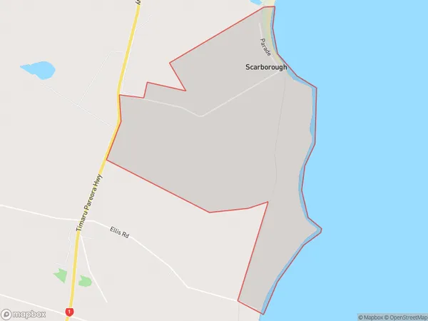
Scarborough Area (estimated)
2.9 square kilometersScarborough Population (estimated)
46 people live in Scarborough, Canterbury, NZScarborough Suburb Area Map (Polygon)
Scarborough Introduction
Scarborough is a suburb of Timaru, Canterbury, New Zealand. It is located on the Pacific coast of the South Island, about 100 km south of Timaru. The suburb has a population of around 3,500 people and is known for its beaches, parks, and recreational facilities. It is also home to a large number of retirees and is a popular tourist destination.Region
Major City
Suburb Name
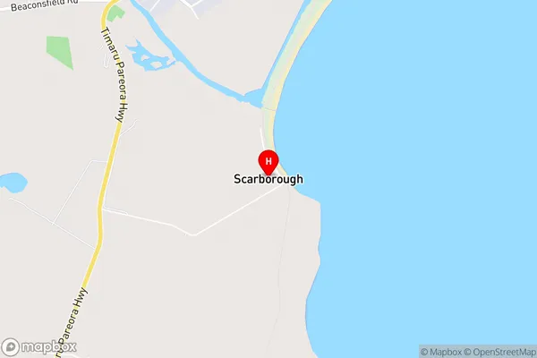
ScarboroughScarborough Area Map (Street)
Local Authority
Timaru DistrictFull Address
Scarborough, Timaru District, New ZealandAddress Type
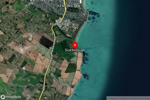
Locality in Town TimaruScarborough Suburb Map (Satellite)
Country
Main Region in AU
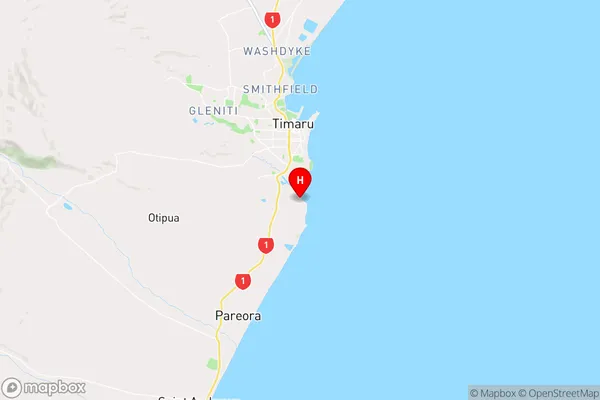
CanterburyScarborough Region Map
Coordinates
-44.4303956,171.2557875 (latitude/longitude)Distances
The distance from Scarborough, Timaru, Timaru District to NZ Top 10 Cities