Highfield Suburbs & Region, Highfield Map & Postcodes in Highfield, Timaru, Canterbury
Highfield Postcodes, Highfield ZipCodes, Highfield , Highfield Canterbury, Highfield Suburbs, Highfield Region, Highfield Map, Highfield Area
Highfield Region (Maori Park Region)
Highfield Suburbs
Highfield is a suburb place type in Timaru, Canterbury, NZ. It contains 0 suburbs or localities.Highfield Postcodes
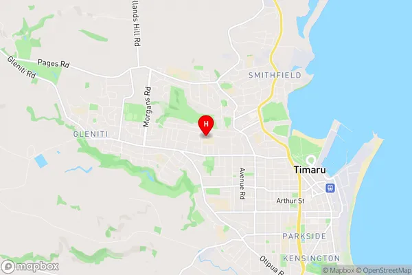
Highfield Region Map
Highfield Introduction
Highfield is a suburb of Christchurch, New Zealand, located in the eastern suburbs of the city. It is known for its large residential areas, parks, and recreational facilities, including the Highfield Park and Recreation Centre. The suburb has a diverse population and is home to many families and young professionals. Highfield is also home to several educational institutions, including the University of Canterbury and the Christchurch Polytechnic Institute of Technology. The area is well-connected to the rest of the city via public transport, and there are several shopping centers and restaurants in the vicinity.Highfield Region
Highfield City
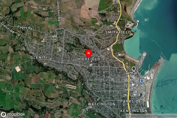
Highfield Satellite Map
Full Address
Highfield, Timaru, CanterburyHighfield Coordinates
-44.387258,171.225061 (Latitude / Longitude)Highfield Map in NZ
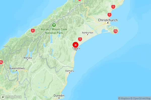
NZ Island
South IslandCountry
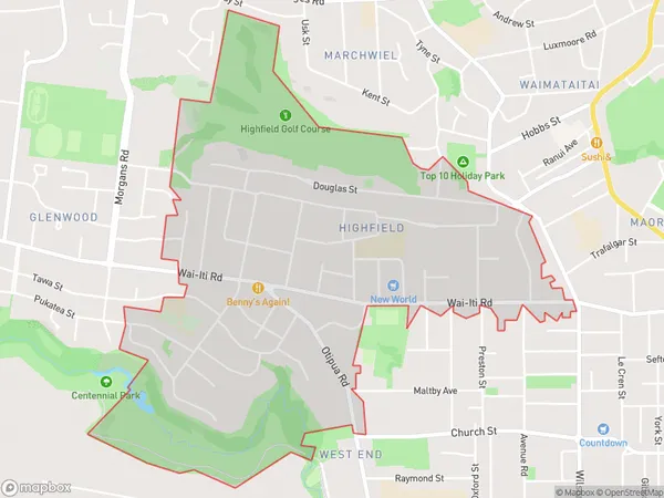
Highfield Area Map (Polygon)
Name
HighfieldAdditional Name
Maori ParkLocal Authority
Timaru District
Highfield Suburbs (Sort by Population)
Highfield also known as Maori Park. Highfield suburb has around
2.8 square
kilometers.There are more than 3762 people (estimated)
live in Highfield, Timaru, Canterbury, New Zealand.