Highfield Area, Highfield Postcode(7910) & Map in Highfield
Highfield Area, Highfield Postcode(7910) & Map in Highfield, Timaru District, New Zealand
Highfield, Timaru District, New Zealand
Highfield Postcodes
Highfield Area (estimated)
2.8 square kilometersHighfield Population (estimated)
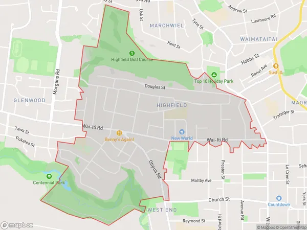
3762 people live in Highfield, Canterbury, NZHighfield Suburb Area Map (Polygon)
Highfield Introduction
Highfield is a residential suburb of Timaru, Canterbury, New Zealand. It is located 5 km south of Timaru's central business district and is part of the Timaru District. The suburb was named after the Highfield Estate, which was owned by the Timaru Herald newspaper publisher John Edward Hall. Highfield has a population of around 4,500 people and is home to a variety of shops, schools, and recreational facilities.Region
Major City
Suburb Name
HighfieldOther Name(s)
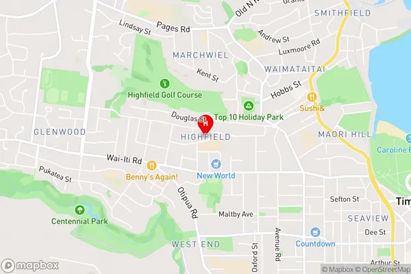
Maori ParkHighfield Area Map (Street)
Local Authority
Timaru DistrictFull Address
Highfield, Timaru District, New ZealandAddress Type
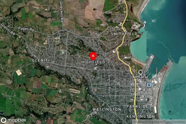
Suburb in Town TimaruHighfield Suburb Map (Satellite)
Country
Main Region in AU
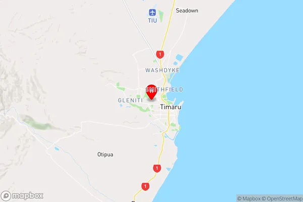
CanterburyHighfield Region Map
Coordinates
-44.387258,171.2250611 (latitude/longitude)Distances
The distance from Highfield, Timaru, Timaru District to NZ Top 10 Cities