Mesopotamia Suburbs & Region, Mesopotamia Map & Postcodes in Mesopotamia, Timaru, Canterbury
Mesopotamia Postcodes, Mesopotamia ZipCodes, Mesopotamia , Mesopotamia Canterbury, Mesopotamia Suburbs, Mesopotamia Region, Mesopotamia Map, Mesopotamia Area
Mesopotamia Region (Blandswood, Clayton, Evans Flat, Mesopotamia Region)
Mesopotamia Suburbs
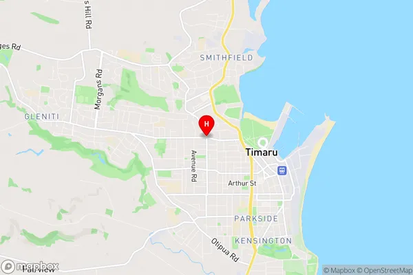
Mesopotamia is a suburb place type in Timaru, Canterbury, NZ. It contains 0 suburbs or localities.Mesopotamia Region Map

Mesopotamia Introduction
Mesopotamia, Canterbury, New Zealand, is a small rural town located in the Canterbury Plains, approximately 120 kilometers south of Christchurch. It is known for its fertile soil and historic significance as the site of the first European settlement in New Zealand. The town was founded in 1850 by a group of English settlers and named after the Mesopotamian region of the same name. The town has a population of around 200 people and is home to a variety of historic buildings, including the Mesopotamia Hotel, which is the oldest hotel in New Zealand. The town also has a community hall, a primary school, and a post office. The surrounding area is known for its agricultural productivity, with farms producing wheat, sheep, and beef. The town is also a popular tourist destination, with visitors coming to explore the historic buildings and the surrounding countryside.Mesopotamia Region
Mesopotamia City
Mesopotamia Satellite Map

Full Address
Mesopotamia, Timaru, CanterburyMesopotamia Coordinates
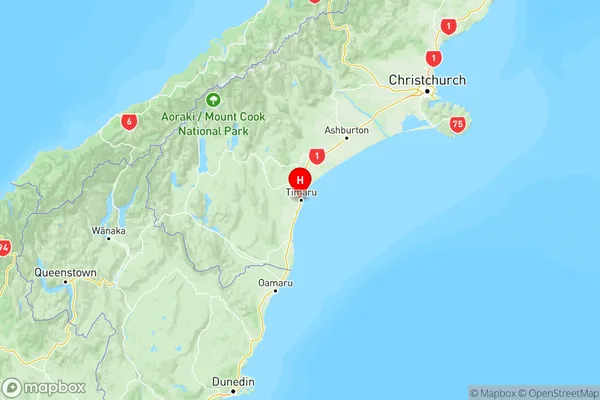
-44.3903881,171.2372756 (Latitude / Longitude)Mesopotamia Map in NZ

NZ Island
South IslandCountry
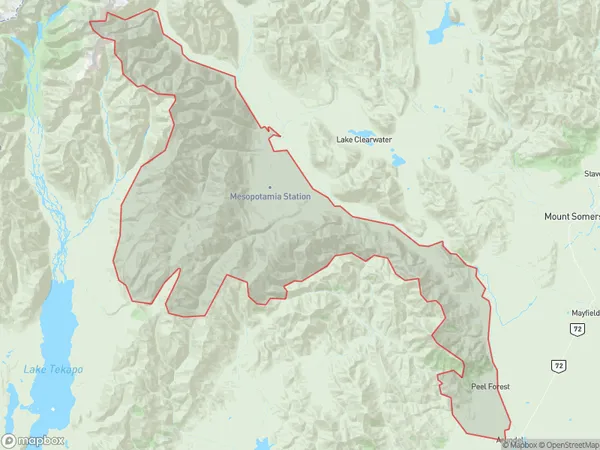
Mesopotamia Area Map (Polygon)

Name
Peel ForestAdditional Name
Blandswood, Clayton, Evans Flat, MesopotamiaLocal Authority
Timaru District
Mesopotamia Suburbs (Sort by Population)
Peel Forest also known as Blandswood, Clayton, Evans Flat, Mesopotamia. Peel Forest suburb has around
1152.9 square
kilometers.There are more than 221 people (estimated)
live in Peel Forest, Timaru, Canterbury, New Zealand.