Peel Forest Area, Peel Forest Postcode(7940) & Map in Peel Forest
Peel Forest Area, Peel Forest Postcode(7940) & Map in Peel Forest, Timaru District, New Zealand
Peel Forest, Timaru District, New Zealand
Peel Forest Postcodes
Peel Forest Area (estimated)
1152.9 square kilometersPeel Forest Population (estimated)
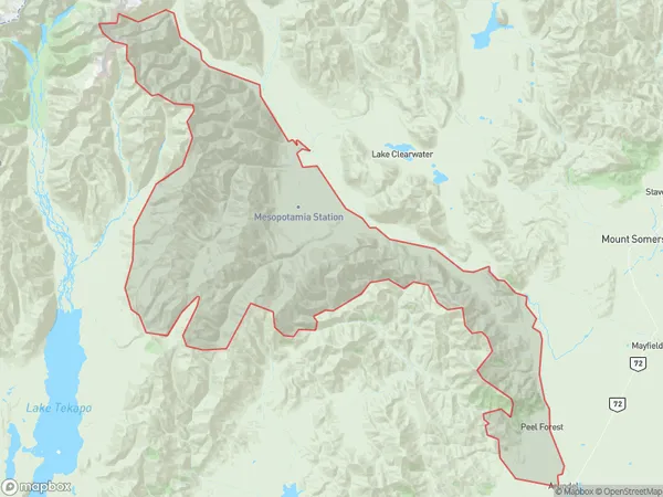
221 people live in Peel Forest, Canterbury, NZPeel Forest Suburb Area Map (Polygon)
Peel Forest Introduction
Peel Forest is a forest located in the Mount Peel region of Canterbury, New Zealand. It is known for its scenic beauty, including waterfalls, rivers, and native trees and plants. The forest is a popular destination for hiking, mountain biking, and picnicking, and is also home to a variety of wildlife, including kea, tui, and kiwi.Region
Major City
Suburb Name
Peel ForestOther Name(s)
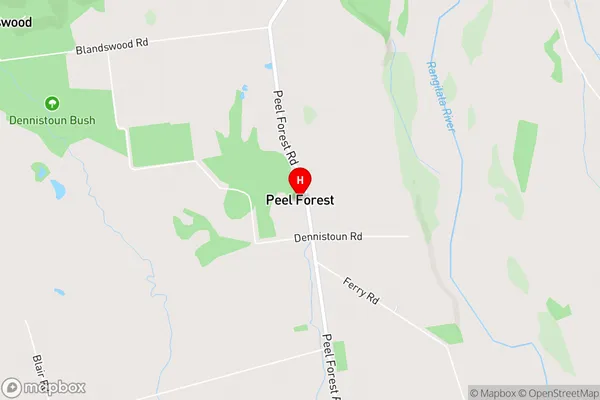
Blandswood, Clayton, Evans Flat, MesopotamiaPeel Forest Area Map (Street)
Local Authority
Timaru DistrictFull Address
Peel Forest, Timaru District, New ZealandAddress Type
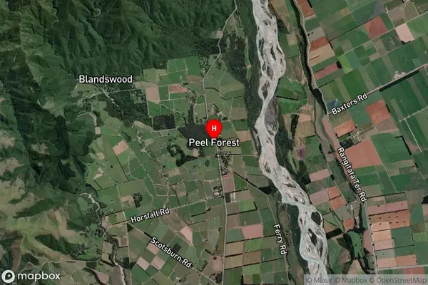
Locality in Major Locality Mount PeelPeel Forest Suburb Map (Satellite)
Country
Main Region in AU
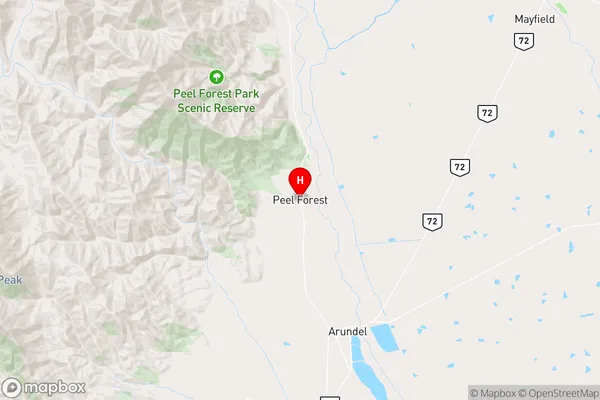
CanterburyPeel Forest Region Map
Coordinates
-43.911219,171.2603756 (latitude/longitude)Distances
The distance from Peel Forest, Mount Peel, Timaru District to NZ Top 10 Cities