Levels Valley Area, Levels Valley Postcode(7940) & Map in Levels Valley
Levels Valley Area, Levels Valley Postcode(7940) & Map in Levels Valley, Timaru District, New Zealand
Levels Valley, Timaru District, New Zealand
Levels Valley Postcodes
Levels Valley Area (estimated)
75.3 square kilometersLevels Valley Population (estimated)
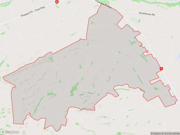
431 people live in Levels Valley, Canterbury, NZLevels Valley Suburb Area Map (Polygon)
Levels Valley Introduction
Levels Valley is a rural community in Timaru, Canterbury, New Zealand. It is located 10 kilometers south of Timaru and 12 kilometers north of Ashburton. The area is known for its scenic countryside, farming, and outdoor activities such as hiking, skiing, and fishing. The population of Levels Valley is approximately 1,000 people.Region
Major City
Suburb Name
Levels ValleyOther Name(s)
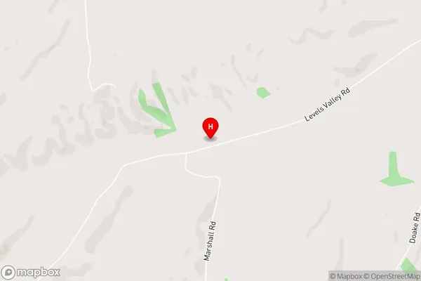
Rosewill ValleyLevels Valley Area Map (Street)
Local Authority
Timaru DistrictFull Address
Levels Valley, Timaru District, New ZealandAddress Type
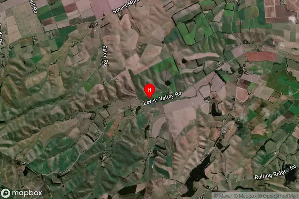
Locality in Town TimaruLevels Valley Suburb Map (Satellite)
Country
Main Region in AU
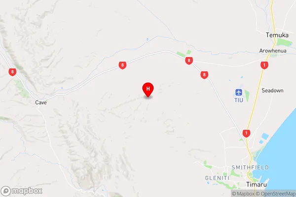
CanterburyLevels Valley Region Map
Coordinates
-44.3073273,171.1000013 (latitude/longitude)Distances
The distance from Levels Valley, Timaru, Timaru District to NZ Top 10 Cities