Normanby Area, Normanby Postcode(7912) & Map in Normanby
Normanby Area, Normanby Postcode(7912) & Map in Normanby, Timaru District, New Zealand
Normanby, Timaru District, New Zealand
Normanby Postcodes
Normanby Area (estimated)
9.2 square kilometersNormanby Population (estimated)
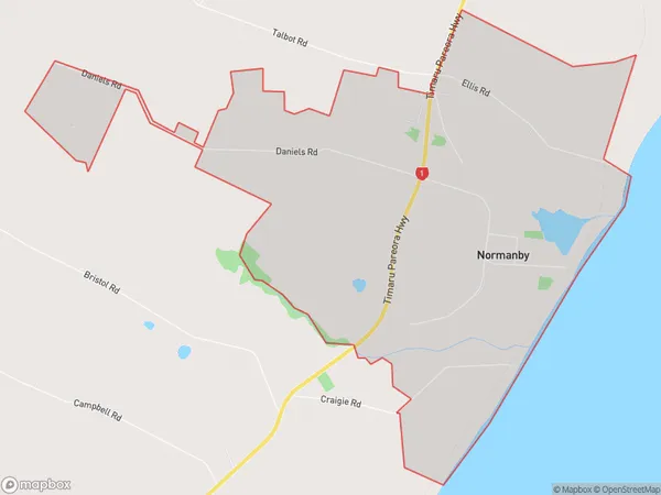
187 people live in Normanby, Canterbury, NZNormanby Suburb Area Map (Polygon)
Normanby Introduction
Normanby is a small rural town located in Timaru District, Canterbury, New Zealand. It is situated on the banks of the Opihi River, approximately 12 kilometers south of Timaru and 150 kilometers south of Christchurch. The town has a population of around 2,000 people and is known for its scenic surroundings, including the Normanby Range and the Opihi River. The town has a primary school, a post office, a supermarket, and a variety of recreational facilities, including a golf course and a sports complex.Region
Major City
Suburb Name
NormanbyOther Name(s)
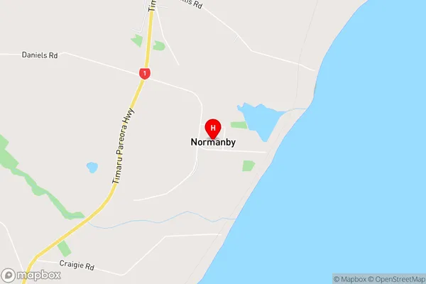
KingsdownNormanby Area Map (Street)
Local Authority
Timaru DistrictFull Address
Normanby, Timaru District, New ZealandAddress Type
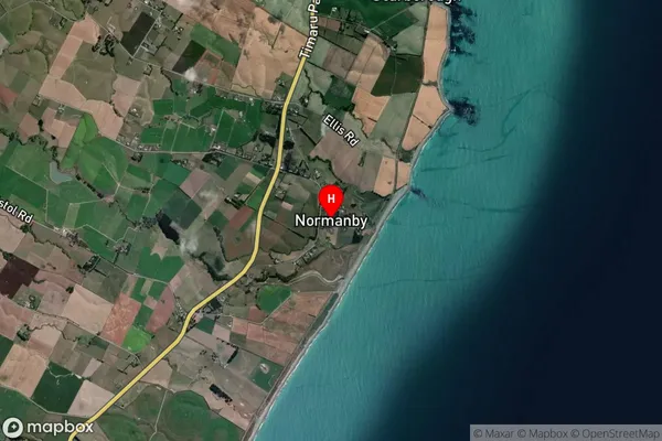
Locality in Town TimaruNormanby Suburb Map (Satellite)
Country
Main Region in AU
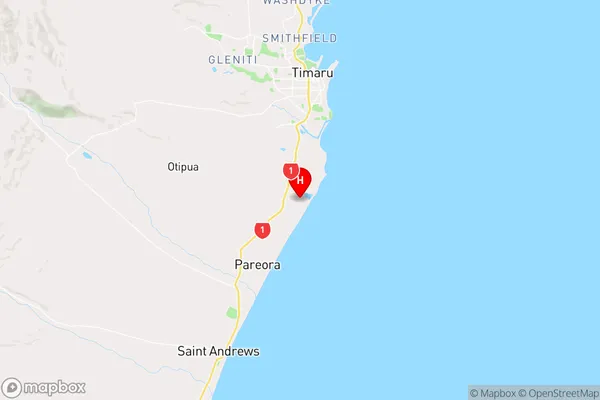
CanterburyNormanby Region Map
Coordinates
-44.4554299,171.2424684 (latitude/longitude)Distances
The distance from Normanby, Timaru, Timaru District to NZ Top 10 Cities