Washdyke Area, Washdyke Postcode(7910) & Map in Washdyke
Washdyke Area, Washdyke Postcode(7910) & Map in Washdyke, Timaru District, New Zealand
Washdyke, Timaru District, New Zealand
Washdyke Postcodes
Washdyke Area (estimated)
10.1 square kilometersWashdyke Population (estimated)
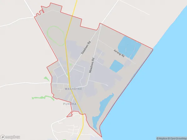
609 people live in Washdyke, Canterbury, NZWashdyke Suburb Area Map (Polygon)
Washdyke Introduction
Washdyke is a small rural community in Timaru, Canterbury, New Zealand. It is located on the banks of the Washdyke River, and is known for its picturesque scenery, rural lifestyle, and friendly community. The area has a variety of recreational activities, including fishing, hiking, and cycling, and is home to a number of historic buildings and landmarks.Region
Major City
Suburb Name
WashdykeOther Name(s)
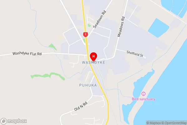
PuhukaWashdyke Area Map (Street)
Local Authority
Timaru DistrictFull Address
Washdyke, Timaru District, New ZealandAddress Type
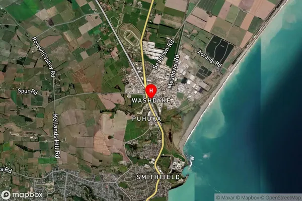
Suburb in Town TimaruWashdyke Suburb Map (Satellite)
Country
Main Region in AU
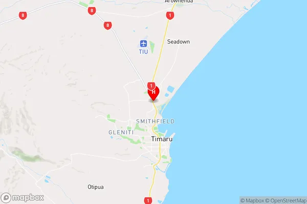
CanterburyWashdyke Region Map
Coordinates
-44.3574414,171.239831 (latitude/longitude)Distances
The distance from Washdyke, Timaru, Timaru District to NZ Top 10 Cities