Claremont Area, Claremont Postcode(7974) & Map in Claremont
Claremont Area, Claremont Postcode(7974) & Map in Claremont, Timaru District, New Zealand
Claremont, Timaru District, New Zealand
Claremont Postcodes
Claremont Area (estimated)
46.5 square kilometersClaremont Population (estimated)
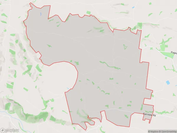
718 people live in Claremont, Canterbury, NZClaremont Suburb Area Map (Polygon)
Claremont Introduction
Claremont is a suburb of Timaru, Canterbury, New Zealand. It is located on the southern bank of the Oamaru River, approximately 5 km from the city center. Claremont has a population of around 3,500 people and is known for its historic buildings, including the Claremont Hotel and the Claremont Convent. The suburb also has a popular golf course and a range of recreational facilities.Region
Major City
Suburb Name
ClaremontOther Name(s)
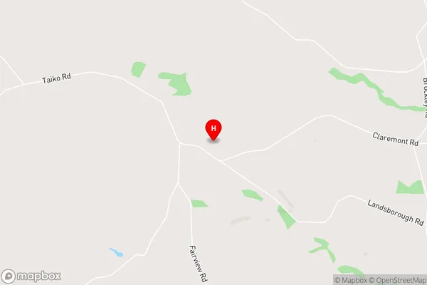
Rosewill ValleyClaremont Area Map (Street)
Local Authority
Timaru DistrictFull Address
Claremont, Timaru District, New ZealandAddress Type
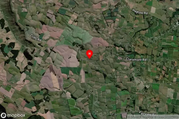
Locality in Town TimaruClaremont Suburb Map (Satellite)
Country
Main Region in AU
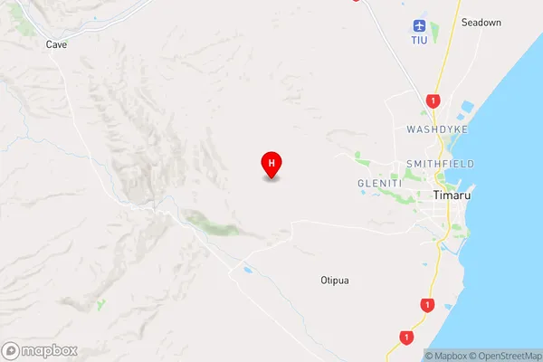
CanterburyClaremont Region Map
Coordinates
-44.3853456,171.1141705 (latitude/longitude)Distances
The distance from Claremont, Timaru, Timaru District to NZ Top 10 Cities