Timaru Area, Timaru Postcode(7910) & Map in Timaru
Timaru Area, Timaru Postcode(7910) & Map in Timaru, Timaru District, New Zealand
Timaru, Timaru District, New Zealand
Timaru Area (estimated)
0.9 square kilometersTimaru Population (estimated)
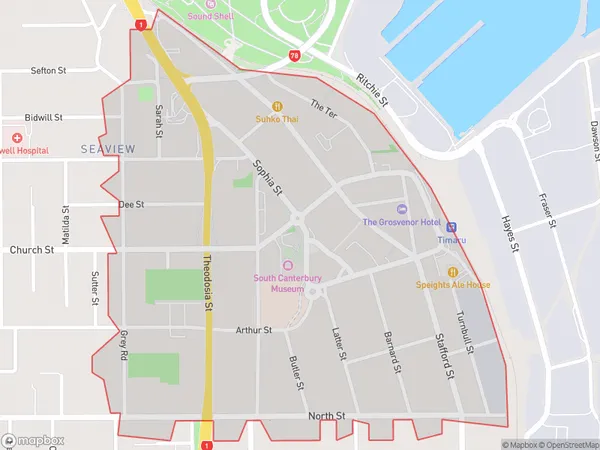
592 people live in Timaru, Canterbury, NZTimaru Suburb Area Map (Polygon)
Timaru Introduction
Timaru is a city in Canterbury, New Zealand, with a population of around 75,000 people. It is known for its historic stone buildings, including the Timaru Herald Building, which is the oldest newspaper building in New Zealand. The city is also home to a large port, which is a major hub for the export of agricultural products such as wool, meat, and dairy products. Timaru is located on the banks of the Otaio River, and is surrounded by stunning mountain scenery. It is a popular destination for outdoor activities such as hiking, skiing, and fishing, and is also home to several museums and art galleries.Region
Major City
Suburb Name
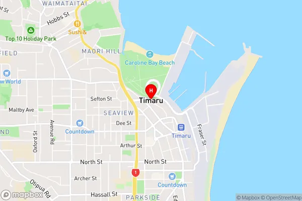
TimaruTimaru Area Map (Street)
Local Authority
Timaru DistrictFull Address
Timaru, Timaru District, New ZealandAddress Type
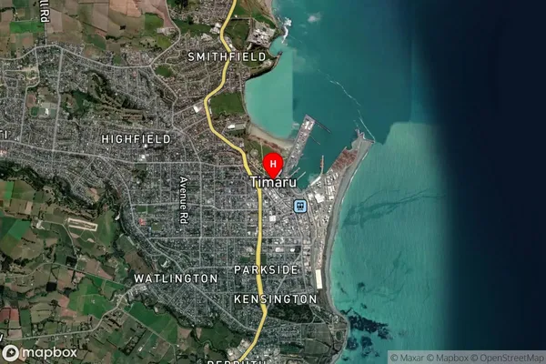
Suburb in Town TimaruTimaru Suburb Map (Satellite)
Country
Main Region in AU
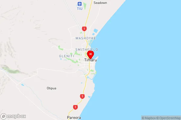
CanterburyTimaru Region Map
Coordinates
-44.3930254,171.2509786 (latitude/longitude)Distances
The distance from Timaru, Timaru, Timaru District to NZ Top 10 Cities