Marchwiel Area, Marchwiel Postcode(7910) & Map in Marchwiel
Marchwiel Area, Marchwiel Postcode(7910) & Map in Marchwiel, Timaru District, New Zealand
Marchwiel, Timaru District, New Zealand
Marchwiel Postcodes
Marchwiel Area (estimated)
2.5 square kilometersMarchwiel Population (estimated)
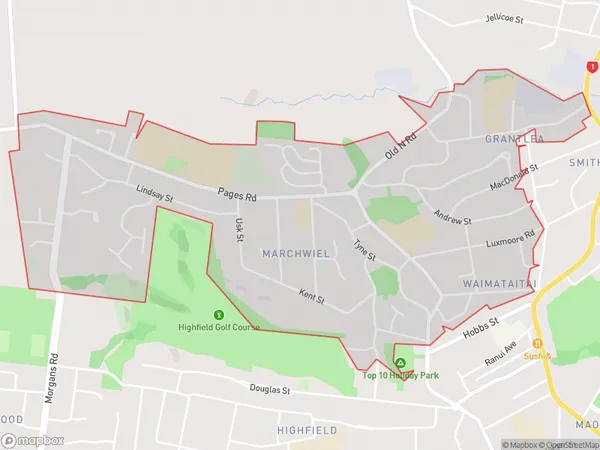
4039 people live in Marchwiel, Canterbury, NZMarchwiel Suburb Area Map (Polygon)
Marchwiel Introduction
Marchwiel is a small rural community in Timaru, Canterbury, New Zealand. It is located on the banks of the Opihi River and is known for its scenic views and peaceful atmosphere. The community has a primary school, a post office, and a small supermarket. It is a popular destination for outdoor enthusiasts, with nearby hiking and cycling trails.Region
Major City
Suburb Name
MarchwielOther Name(s)
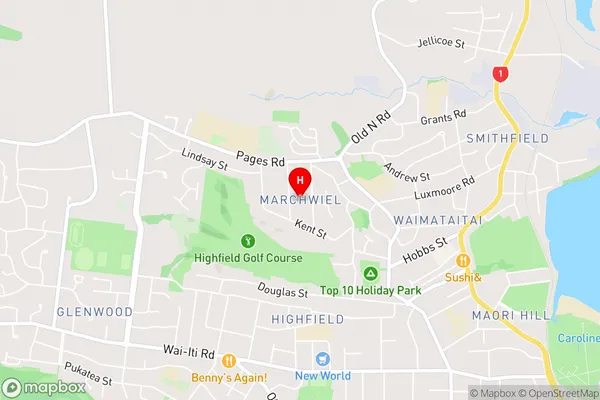
GrantleaMarchwiel Area Map (Street)
Local Authority
Timaru DistrictFull Address
Marchwiel, Timaru District, New ZealandAddress Type
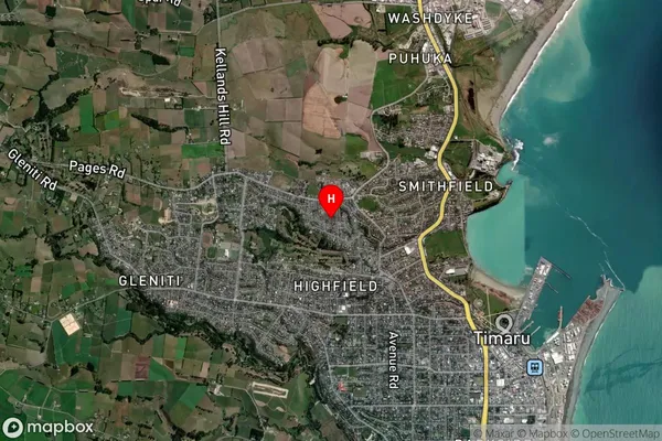
Suburb in Town TimaruMarchwiel Suburb Map (Satellite)
Country
Main Region in AU
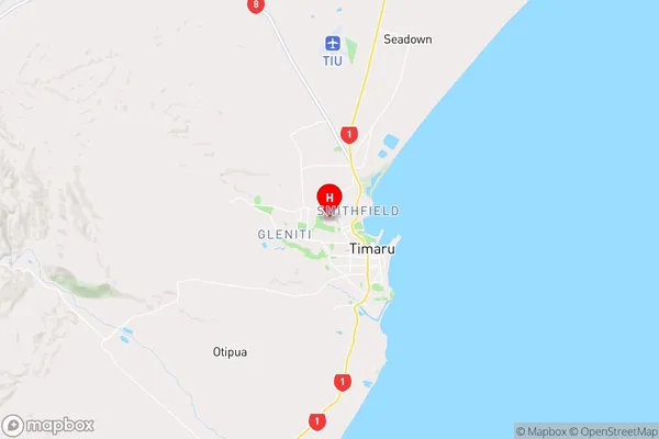
CanterburyMarchwiel Region Map
Coordinates
-44.3799347,171.2244133 (latitude/longitude)Distances
The distance from Marchwiel, Timaru, Timaru District to NZ Top 10 Cities