Parkside Area, Parkside Postcode(7910) & Map in Parkside
Parkside Area, Parkside Postcode(7910) & Map in Parkside, Timaru District, New Zealand
Parkside, Timaru District, New Zealand
Parkside Area (estimated)
2.1 square kilometersParkside Population (estimated)
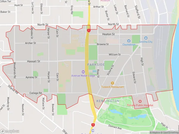
2634 people live in Parkside, Canterbury, NZParkside Suburb Area Map (Polygon)
Parkside Introduction
Parkside is a suburb of Timaru, Canterbury, New Zealand. It is located on the southern bank of the Timaru River, approximately 5 km from the city center. The suburb has a variety of housing types, including apartments, houses, and retirement villages. It is known for its peaceful atmosphere and scenic surroundings, with several parks and recreational facilities nearby. Parkside also has a shopping center, a medical center, and a variety of restaurants and cafes.Region
Major City
Suburb Name
ParksideOther Name(s)
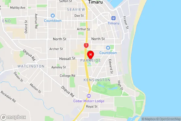
Timaru CentralParkside Area Map (Street)
Local Authority
Timaru DistrictFull Address
Parkside, Timaru District, New ZealandAddress Type
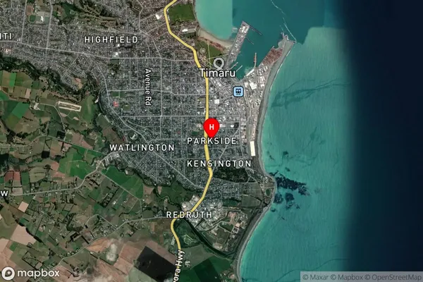
Suburb in Town TimaruParkside Suburb Map (Satellite)
Country
Main Region in AU
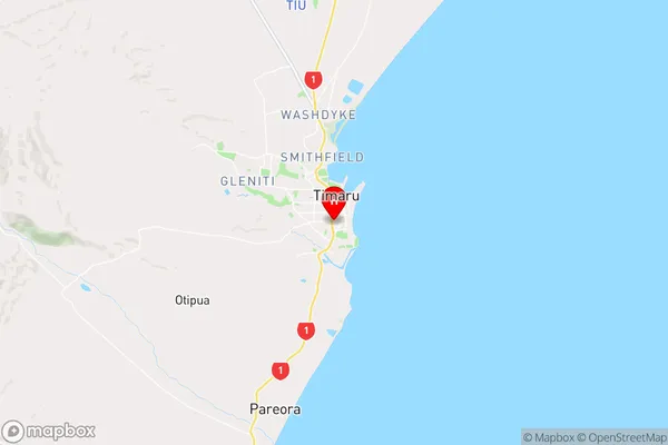
CanterburyParkside Region Map
Coordinates
-44.404882,171.2495804 (latitude/longitude)Distances
The distance from Parkside, Timaru, Timaru District to NZ Top 10 Cities