West End Area, West End Postcode(7910) & Map in West End
West End Area, West End Postcode(7910) & Map in West End, Timaru District, New Zealand
West End, Timaru District, New Zealand
West End Postcodes
West End Area (estimated)
1.5 square kilometersWest End Population (estimated)
2766 people live in West End, Canterbury, NZWest End Suburb Area Map (Polygon)
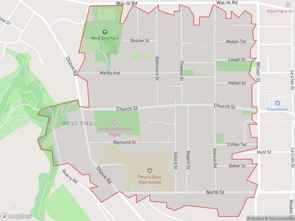
West End Introduction
West End is a suburb of Timaru, Canterbury, New Zealand. It is located on the southern bank of the Timaru River, approximately 10 kilometers from the city center. The suburb has a population of around 10,000 people and is known for its historic buildings, including the West End Baptist Church and the West End School. It also has a variety of recreational facilities, including a golf course, a swimming pool, and a sports park.Region
Major City
Suburb Name
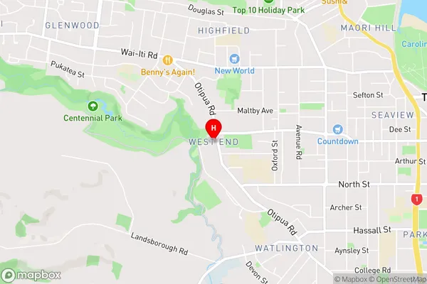
West EndWest End Area Map (Street)
Local Authority
Timaru DistrictFull Address
West End, Timaru District, New ZealandAddress Type
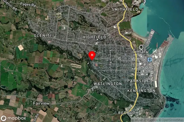
Suburb in Town TimaruWest End Suburb Map (Satellite)
Country
Main Region in AU
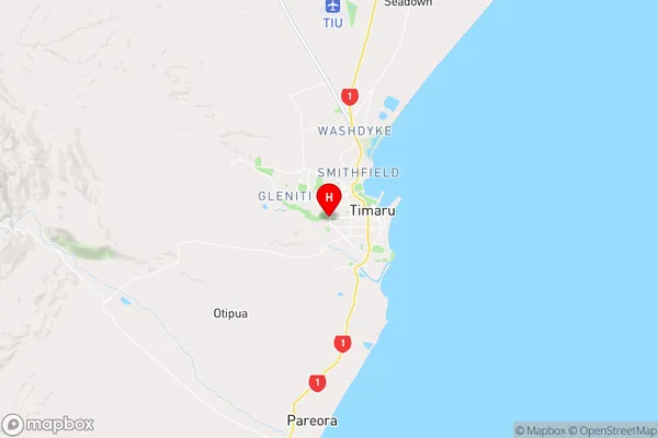
CanterburyWest End Region Map
Coordinates
-44.3968742,171.2238375 (latitude/longitude)Distances
The distance from West End, Timaru, Timaru District to NZ Top 10 Cities