Washdyke Suburbs & Region, Washdyke Map & Postcodes in Washdyke, Timaru, Canterbury
Washdyke Postcodes, Washdyke ZipCodes, Washdyke , Washdyke Canterbury, Washdyke Suburbs, Washdyke Region, Washdyke Map, Washdyke Area
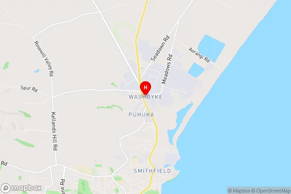
Washdyke Region (Puhuka Region)
Washdyke Suburbs
Washdyke is a suburb place type in Timaru, Canterbury, NZ. It contains 0 suburbs or localities.Washdyke Region Map
Washdyke Introduction
Washdyke is a small rural community in Canterbury, New Zealand, located in the Waimakariri District. It is situated on the banks of the Washdyke River, approximately 20 kilometers northwest of Christchurch. The community has a population of around 500 people and is known for its scenic rural setting, peaceful atmosphere, and historic buildings. The area was first settled in the 1850s by German immigrants, and the village has a strong German heritage. The Washdyke Cemetery is a significant landmark in the community, with many graves of early German settlers and their descendants. The village also has a public library, a post office, a small supermarket, and a variety of recreational facilities, including a golf course and a tennis court.Washdyke Region
Washdyke City
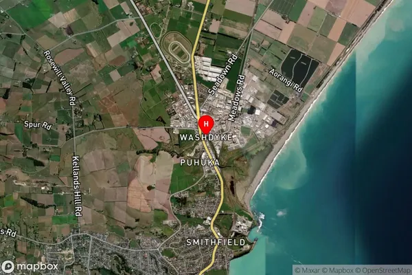
Washdyke Satellite Map
Full Address
Washdyke, Timaru, CanterburyWashdyke Coordinates
-44.357441,171.239831 (Latitude / Longitude)Washdyke Map in NZ
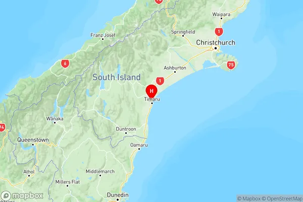
NZ Island
South IslandCountry
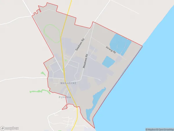
Washdyke Area Map (Polygon)
Name
WashdykeAdditional Name
PuhukaLocal Authority
Timaru District
Washdyke Suburbs (Sort by Population)
Washdyke also known as Puhuka. Washdyke suburb has around
10.1 square
kilometers.There are more than 609 people (estimated)
live in Washdyke, Timaru, Canterbury, New Zealand.