Glenwood Area, Glenwood Postcode(7910) & Map in Glenwood
Glenwood Area, Glenwood Postcode(7910) & Map in Glenwood, Timaru District, New Zealand
Glenwood, Timaru District, New Zealand
Glenwood Postcodes
Glenwood Area (estimated)
1.3 square kilometersGlenwood Population (estimated)
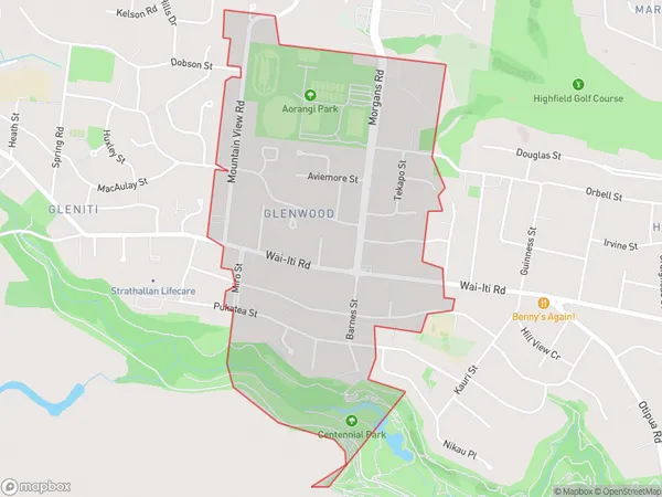
1855 people live in Glenwood, Canterbury, NZGlenwood Suburb Area Map (Polygon)
Glenwood Introduction
Glenwood is a residential area in Timaru, Canterbury, New Zealand. It is located 5 km south of Timaru's central business district and is known for its peaceful atmosphere and scenic surroundings. The area has a variety of housing options, including single-family homes, apartments, and retirement villages. It also has a number of recreational facilities, including a golf course, a bowling club, and a swimming pool.Region
Major City
Suburb Name
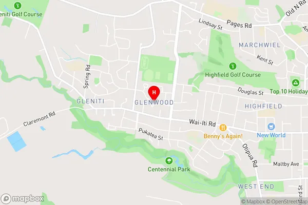
GlenwoodGlenwood Area Map (Street)
Local Authority
Timaru DistrictFull Address
Glenwood, Timaru District, New ZealandAddress Type
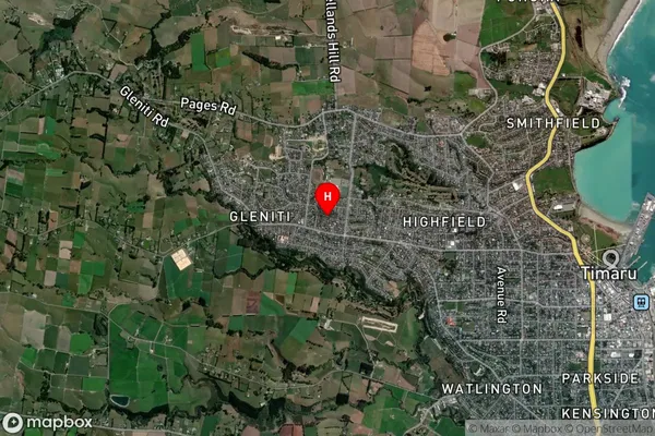
Suburb in Town TimaruGlenwood Suburb Map (Satellite)
Country
Main Region in AU
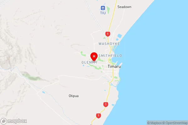
CanterburyGlenwood Region Map
Coordinates
-44.3868082,171.2067797 (latitude/longitude)Distances
The distance from Glenwood, Timaru, Timaru District to NZ Top 10 Cities