Otipua Creek Area, Otipua Creek Postcode(7910) & Map in Otipua Creek
Otipua Creek Area, Otipua Creek Postcode(7910) & Map in Otipua Creek, Timaru District,
Otipua Creek, Timaru District,
Otipua Creek Postcodes
Otipua Creek Area (estimated)
10.0 square kilometersOtipua Creek Population (estimated)
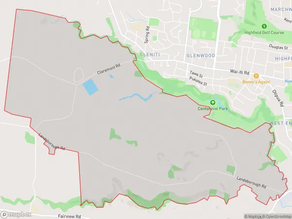
195 people live in Otipua Creek, Timaru, NZOtipua Creek Suburb Area Map (Polygon)
Otipua Creek Introduction
Otipua Creek is a small, slow-moving stream located in Timaru, Canterbury, New Zealand. It is a tributary of the Awatea River and is known for its clear water and native fish species. The creek has a rich history and was once used as a source of water for the local community. It is also home to a variety of bird species, including the kereru, which is native to New Zealand.Region
Major City
Suburb Name
Otipua CreekOtipua Creek Area Map (Street)
Local Authority
Timaru DistrictFull Address
Otipua Creek, Timaru District,Address Type
Locality in Town TimaruOtipua Creek Suburb Map (Satellite)
Country
Main Region in AU
CanterburyOtipua Creek Region Map
Coordinates
0,0 (latitude/longitude)Distances
The distance from Otipua Creek, Timaru, Timaru District to NZ Top 10 Cities