Kerrytown Area, Kerrytown Postcode(7940) & Map in Kerrytown
Kerrytown Area, Kerrytown Postcode(7940) & Map in Kerrytown, Timaru District, New Zealand
Kerrytown, Timaru District, New Zealand
Kerrytown Postcodes
Kerrytown Area (estimated)
33.3 square kilometersKerrytown Population (estimated)
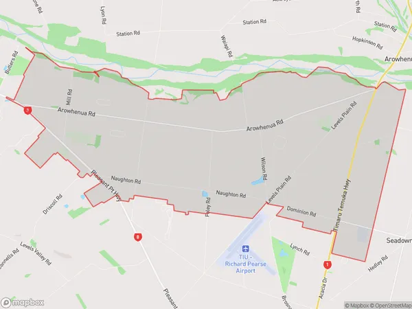
342 people live in Kerrytown, Canterbury, NZKerrytown Suburb Area Map (Polygon)
Kerrytown Introduction
Kerrytown is a suburb of Timaru, Canterbury, New Zealand. It is located on the banks of the Oamaru River and is known for its historic buildings and vibrant community. The suburb was established in the 1860s and has a rich history of mining and industry. Today, it is a popular residential area with a variety of shops, restaurants, and recreational facilities.Region
Major City
Suburb Name
KerrytownOther Name(s)
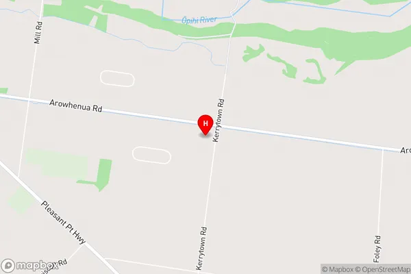
Arowhenua, WaitawaKerrytown Area Map (Street)
Local Authority
Timaru DistrictFull Address
Kerrytown, Timaru District, New ZealandAddress Type
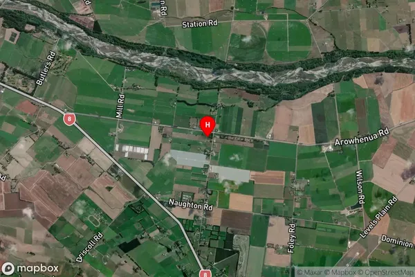
Locality in Town TimaruKerrytown Suburb Map (Satellite)
Country
Main Region in AU
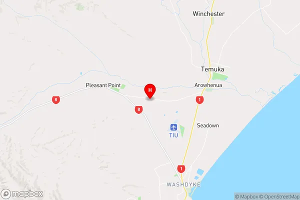
CanterburyKerrytown Region Map
Coordinates
-44.2742754,171.1938527 (latitude/longitude)Distances
The distance from Kerrytown, Timaru, Timaru District to NZ Top 10 Cities