Glenwood Suburbs & Region, Glenwood Map & Postcodes in Glenwood, Timaru, Canterbury
Glenwood Postcodes, Glenwood ZipCodes, Glenwood , Glenwood Canterbury, Glenwood Suburbs, Glenwood Region, Glenwood Map, Glenwood Area
Glenwood Region
Glenwood Suburbs
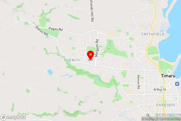
Glenwood is a suburb place type in Timaru, Canterbury, NZ. It contains 0 suburbs or localities.Glenwood Region Map
Glenwood Introduction
Glenwood is a suburb of Christchurch, New Zealand, located in the eastern suburbs of the city. It is known for its peaceful atmosphere, scenic views, and well-maintained homes. The suburb has a variety of amenities, including a supermarket, a medical center, and several parks and recreational facilities. Glenwood is also home to a number of schools, including Glenwood School and St. Bede's College. The suburb is well-connected to the rest of Christchurch via public transportation, and is only a short drive from the city center.Glenwood Region
Glenwood City
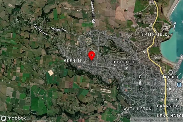
Glenwood Satellite Map
Full Address
Glenwood, Timaru, CanterburyGlenwood Coordinates
-44.386808,171.20678 (Latitude / Longitude)Glenwood Map in NZ
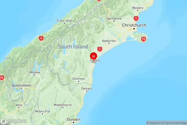
NZ Island
South IslandCountry