West End Suburbs & Region, West End Map & Postcodes in West End, Timaru, Canterbury
West End Postcodes, West End ZipCodes, West End , West End Canterbury, West End Suburbs, West End Region, West End Map, West End Area
West End Region
West End Suburbs
West End is a suburb place type in Timaru, Canterbury, NZ. It contains 0 suburbs or localities.West End Postcodes
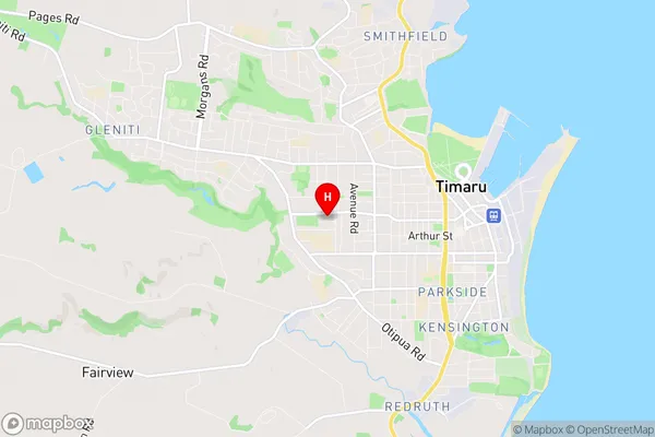
West End Region Map
West End Introduction
West End is a suburb of Christchurch, New Zealand. It is located on the banks of the Avon River and is known for its historic buildings, including the West End Baptist Church and the West End Cemetery. The suburb has a vibrant arts community and is home to several galleries and museums, including the Christchurch Art Gallery and the Canterbury Museum. West End is also home to a variety of shops and restaurants, and is a popular destination for tourists and locals alike.West End Region
West End City
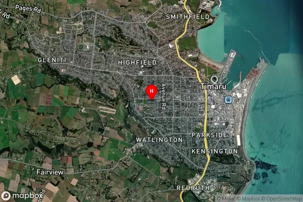
West End Satellite Map
Full Address
West End, Timaru, CanterburyWest End Coordinates
-44.396598,171.229982 (Latitude / Longitude)West End Map in NZ
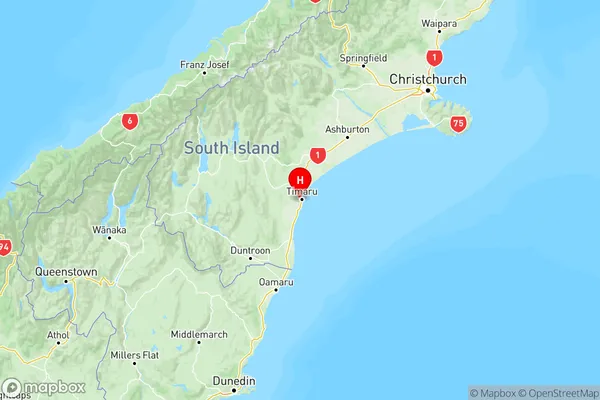
NZ Island
South IslandCountry
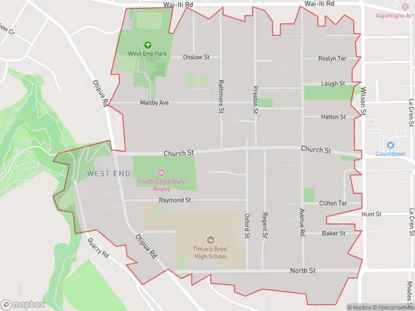
West End Area Map (Polygon)
Name
West EndAdditional Name
Local Authority
Timaru District
West End Suburbs (Sort by Population)
West End suburb has around
1.5 square
kilometers.There are more than 2766 people (estimated)
live in West End, Timaru, Canterbury, New Zealand.