Gore Suburbs & Region, Gore Map & Postcodes in Gore, Otago
Gore Postcodes, Gore ZipCodes, Gore , Gore Otago, Gore Suburbs, Gore Region, Gore Map, Gore Area
Gore Region (Jacobs Town, Wayland, West Gore Region)
Gore Suburbs
Gore is a city place type in Otago, NZ. It contains 0 suburbs or localities.Gore Postcodes
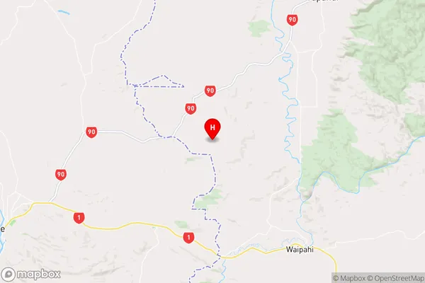
Gore Region Map
Gore Introduction
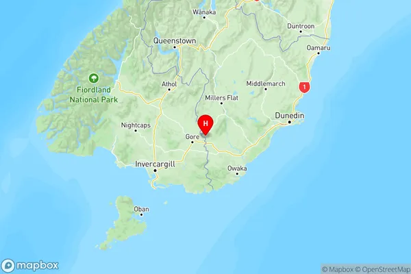
Gore, Otago, New Zealand, is a small town located in the South Island's Otago region. It is known for its scenic surroundings, including the Gore Range Mountains and the Taieri River. The town has a population of around 10,000 people and is a popular destination for outdoor activities such as hiking, skiing, and fishing. It is also home to several historic buildings, including the Gore District Museum and the Old St. Paul's Church. Gore is located approximately 120 kilometers south of Dunedin, the region's capital city.Gore Region
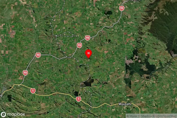
Gore Satellite Map
Full Address
Gore, OtagoGore Coordinates
-46.039825,169.155328 (Latitude / Longitude)Gore Map in NZ
NZ Island
South IslandCountry
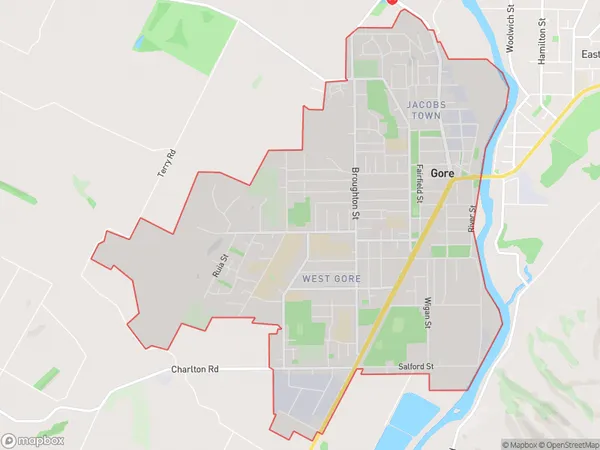
Gore Area Map (Polygon)
Name
GoreAdditional Name
Jacobs Town, Wayland, West GoreLocal Authority
Gore District
Gore Suburbs (Sort by Population)
Gore also known as Jacobs Town, Wayland, West Gore. Gore suburb has around
9.0 square
kilometers.There are more than 6510 people (estimated)
live in Gore, Gore, Southland, New Zealand.