Greenvale Area, Greenvale Postcode(9710) & Map in Greenvale, Clutha District
Greenvale Area, Greenvale Postcode(9710) & Map in Greenvale, Clutha District, Gore District, New Zealand
Greenvale, Clutha District, Gore District, New Zealand
Greenvale Postcodes
Greenvale Area (estimated)
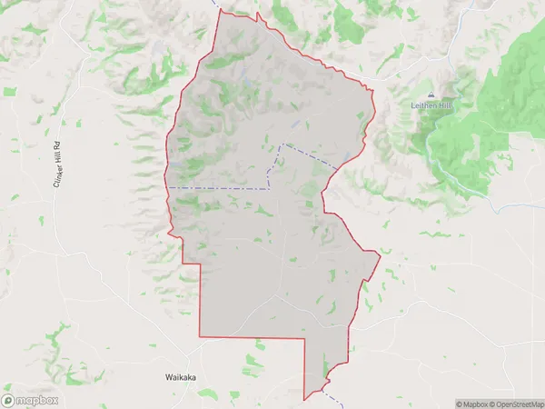
72.4 square kilometersGreenvale Population (estimated)
77 people live in Greenvale, Southland, NZGreenvale Suburb Area Map (Polygon)
Greenvale Introduction
Greenvale is a small rural community in Gore, Southland, New Zealand. It is located on the banks of the Mataura River and is known for its scenic countryside and friendly locals. The community has a primary school, a post office, and a small supermarket. Greenvale is a popular destination for outdoor enthusiasts, with many walking and hiking trails nearby. The area is also home to a number of farms and agricultural businesses.Region
Major City
Suburb Name
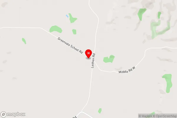
GreenvaleGreenvale Area Map (Street)
Local Authority
Clutha District, Gore DistrictFull Address
Greenvale, Clutha District, Gore District, New ZealandAddress Type
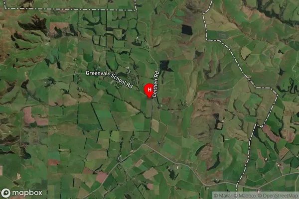
Locality in Town GoreGreenvale Suburb Map (Satellite)
Country
Main Region in AU
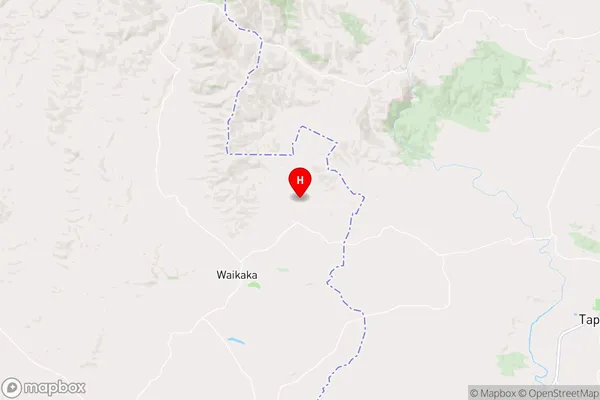
SouthlandGreenvale Region Map
Coordinates
-45.8853944,169.054872 (latitude/longitude)Distances
The distance from Greenvale, Gore, Clutha District, Gore District to NZ Top 10 Cities