Charlton Area, Charlton Postcode(9710) & Map in Charlton
Charlton Area, Charlton Postcode(9710) & Map in Charlton, Gore District, New Zealand
Charlton, Gore District, New Zealand
Charlton Postcodes
Charlton Area (estimated)
16.5 square kilometersCharlton Population (estimated)
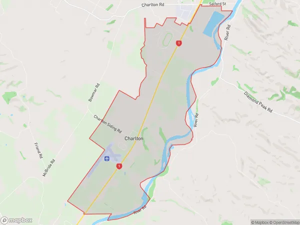
130 people live in Charlton, Southland, NZCharlton Suburb Area Map (Polygon)
Charlton Introduction
Charlton, Gore, Southland, New Zealand, is a small rural town located in the Southland region of the South Island. It is known for its scenic surroundings, including the Southern Alps and the Fiordland National Park. The town has a population of around 300 people and is surrounded by farmland and natural beauty.Region
Major City
Suburb Name
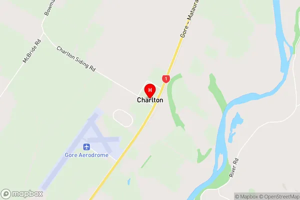
CharltonCharlton Area Map (Street)
Local Authority
Gore DistrictFull Address
Charlton, Gore District, New ZealandAddress Type
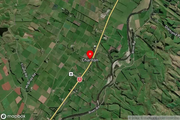
Suburb in Town GoreCharlton Suburb Map (Satellite)
Country
Main Region in AU
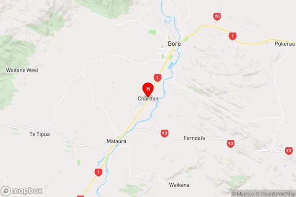
SouthlandCharlton Region Map
Coordinates
-46.1514604,168.9082345 (latitude/longitude)Distances
The distance from Charlton, Gore, Gore District to NZ Top 10 Cities