East Chatton Area, East Chatton Postcode(9710) & Map in East Chatton
East Chatton Area, East Chatton Postcode(9710) & Map in East Chatton, Gore District, New Zealand
East Chatton, Gore District, New Zealand
East Chatton Postcodes
East Chatton Area (estimated)
23.9 square kilometersEast Chatton Population (estimated)
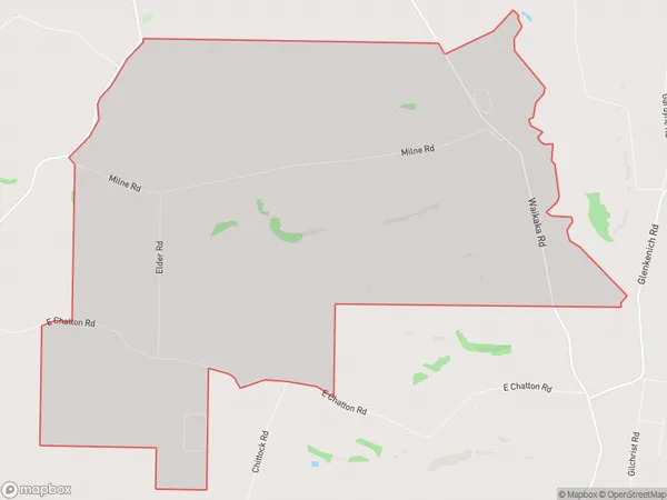
55 people live in East Chatton, Southland, NZEast Chatton Suburb Area Map (Polygon)
East Chatton Introduction
East Chatton is a small rural community in Gore, Southland, New Zealand. It is located on the eastern side of the Southern Alps and is surrounded by stunning natural scenery. The community has a primary school, a post office, and a small supermarket. The area is popular with outdoor enthusiasts, with many hiking and skiing trails nearby. East Chatton is also home to a number of historic buildings, including the East Chatton Hotel, which was built in the 1880s.Region
Major City
Suburb Name
East ChattonOther Name(s)
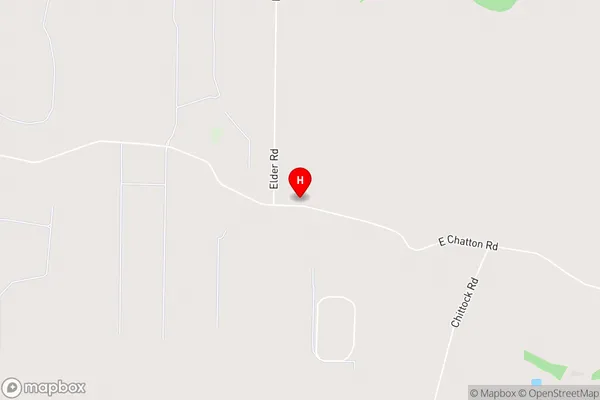
FlemmingEast Chatton Area Map (Street)
Local Authority
Gore DistrictFull Address
East Chatton, Gore District, New ZealandAddress Type
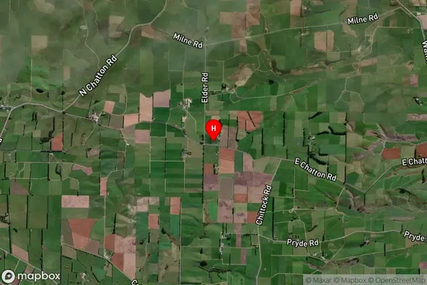
Locality in Town GoreEast Chatton Suburb Map (Satellite)
Country
Main Region in AU
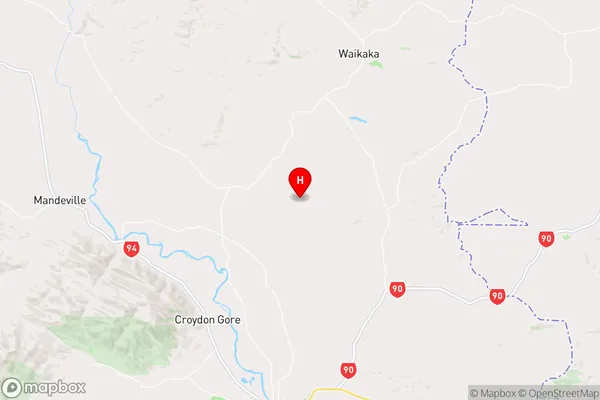
SouthlandEast Chatton Region Map
Coordinates
-45.9909984,168.9711642 (latitude/longitude)Distances
The distance from East Chatton, Gore, Gore District to NZ Top 10 Cities