Rankleburn Area, Rankleburn Postcode & Map in Rankleburn
Rankleburn Area, Rankleburn Postcode & Map in Rankleburn, Clutha District, New Zealand
Rankleburn, Clutha District, New Zealand
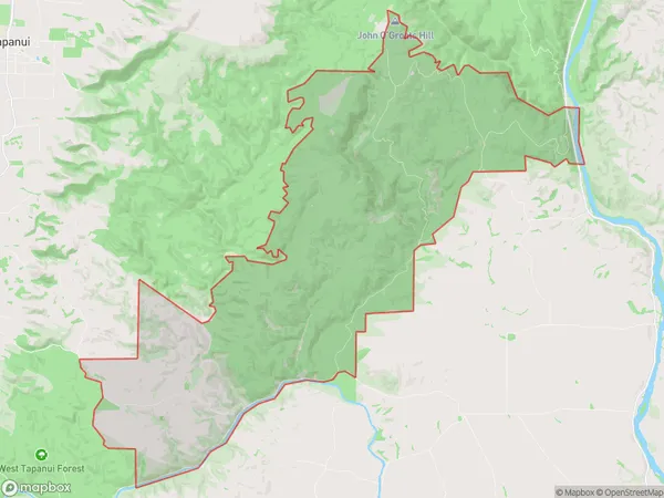
Rankleburn Area (estimated)
83.7 square kilometersRankleburn Population (estimated)
16 people live in Rankleburn, Otago, NZRankleburn Suburb Area Map (Polygon)
Rankleburn Introduction
Rankleburn is a small town in Gore, Otago, New Zealand. It is located on the banks of the Mataura River and was once a significant coal-mining center. The town has a population of around 1,200 people and is known for its historic buildings and scenic surroundings. The area is popular with outdoor enthusiasts and has several hiking and cycling trails.Region
Major City
Suburb Name
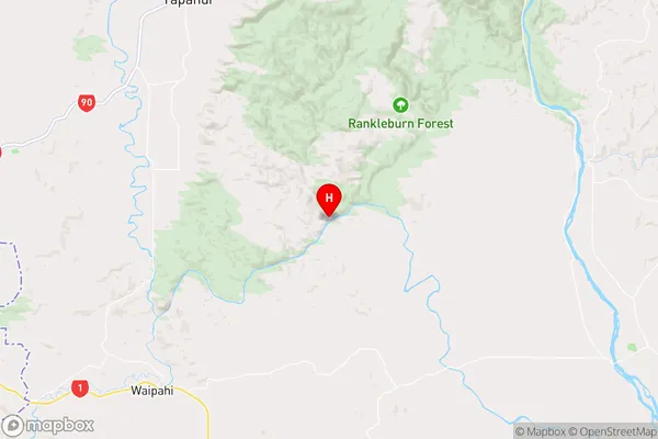
RankleburnRankleburn Area Map (Street)
Local Authority
Clutha DistrictFull Address
Rankleburn, Clutha District, New ZealandAddress Type
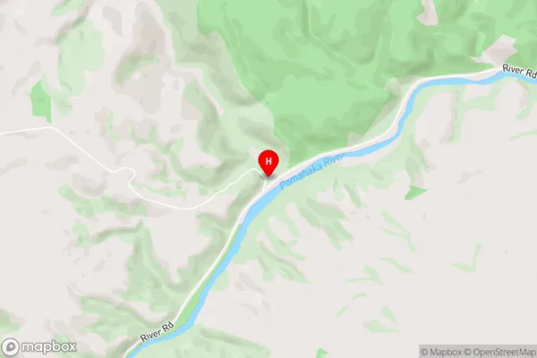
Locality in Town GoreRankleburn Suburb Map (Satellite)

Country
Main Region in AU
OtagoRankleburn Region Map
Coordinates
-46.038267,169.3507075 (latitude/longitude)Distances
The distance from Rankleburn, Gore, Clutha District to NZ Top 10 Cities