McNab Area, McNab Postcode(9710) & Map in McNab
McNab Area, McNab Postcode(9710) & Map in McNab, Gore District, New Zealand
McNab, Gore District, New Zealand
McNab Postcodes
McNab Area (estimated)
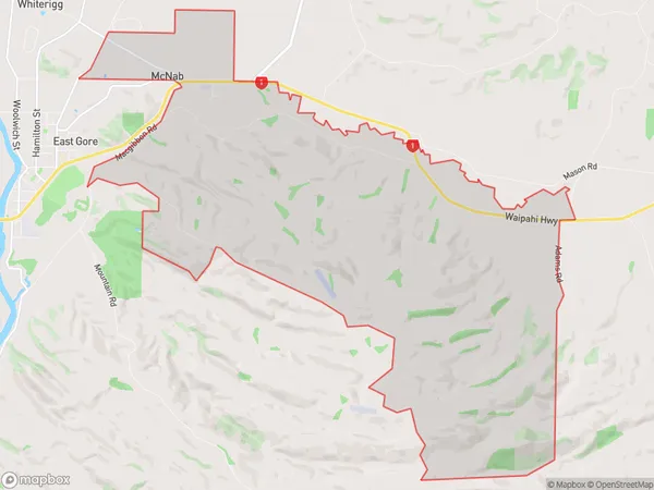
24.5 square kilometersMcNab Population (estimated)
61 people live in McNab, Southland, NZMcNab Suburb Area Map (Polygon)
McNab Introduction
McNab, Gore, Southland, New Zealand, is a small rural town located in the Southland region of the South Island. It is known for its scenic surroundings, including the McNab River and the surrounding mountains. The town has a population of around 200 people and is a popular destination for outdoor enthusiasts, including hikers, fishermen, and hunters.Region
Major City
Suburb Name
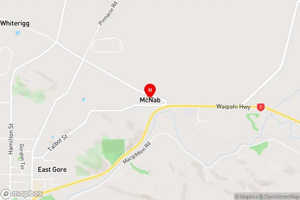
McNabMcNab Area Map (Street)
Local Authority
Gore DistrictFull Address
McNab, Gore District, New ZealandAddress Type
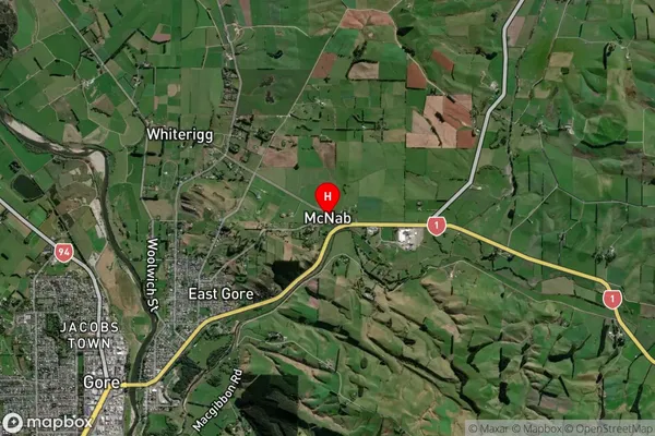
Locality in Town GoreMcNab Suburb Map (Satellite)
Country
Main Region in AU
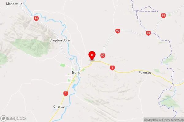
SouthlandMcNab Region Map
Coordinates
-46.0805093,168.980348 (latitude/longitude)Distances
The distance from McNab, Gore, Gore District to NZ Top 10 Cities