Waitane Area, Waitane Postcode(9710) & Map in Waitane
Waitane Area, Waitane Postcode(9710) & Map in Waitane, Gore District, New Zealand
Waitane, Gore District, New Zealand
Waitane Postcodes
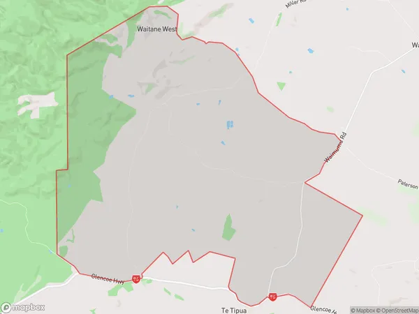
Waitane Area (estimated)
42.7 square kilometersWaitane Population (estimated)
36 people live in Waitane, Waihopai Toetoe Community, NZWaitane Suburb Area Map (Polygon)
Waitane Introduction
Waitane is a small rural town in Southland, New Zealand, located on the banks of the Waitane River. It is known for its scenic beauty, with lush green forests and rolling hills surrounding the town. The town has a population of around 1,000 people and is a popular destination for outdoor enthusiasts, with numerous hiking and cycling trails in the surrounding area.Region
Major City
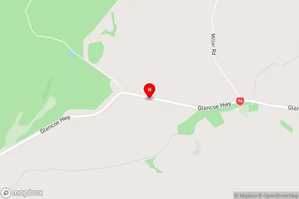
Suburb Name
WaitaneWaitane Area Map (Street)
Local Authority
Gore DistrictFull Address
Waitane, Gore District, New ZealandAddress Type
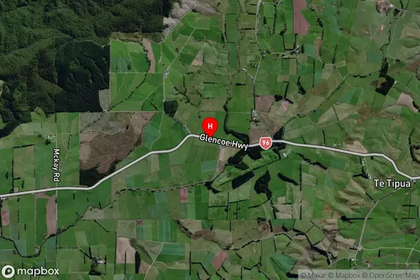
Locality in Town GoreWaitane Suburb Map (Satellite)
Country
Main Region in AU
SouthlandWaitane Region Map
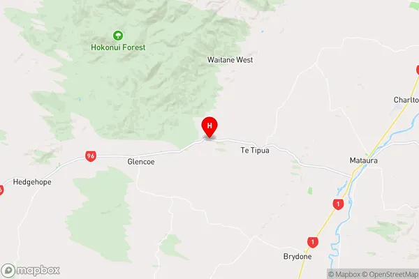
Coordinates
-46.17848,168.7127 (latitude/longitude)Distances
The distance from Waitane, Gore, Gore District to NZ Top 10 Cities