Pomahaka Area, Pomahaka Postcode & Map in Pomahaka
Pomahaka Area, Pomahaka Postcode & Map in Pomahaka, Clutha District, New Zealand
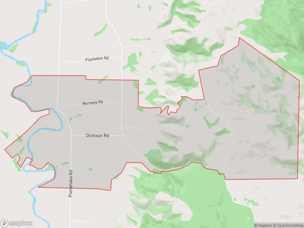
Pomahaka, Clutha District, New Zealand
Pomahaka Area (estimated)
18.2 square kilometersPomahaka Population (estimated)
26 people live in Pomahaka, Otago, NZPomahaka Suburb Area Map (Polygon)
Pomahaka Introduction
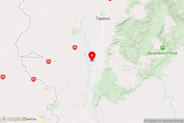
Pomahaka is a small rural town in Gore, Otago, New Zealand. It is located on State Highway 1, 15 km south of Gore and 120 km south of Dunedin. The town was founded in 1865 and named after the Pomahaka River, which flows through it. The town has a population of around 300 people and is known for its scenic surroundings, including the Pomahaka Range and the Pomahaka River.Region
Major City
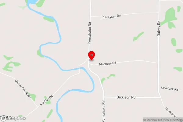
Suburb Name
PomahakaPomahaka Area Map (Street)
Local Authority
Clutha DistrictFull Address
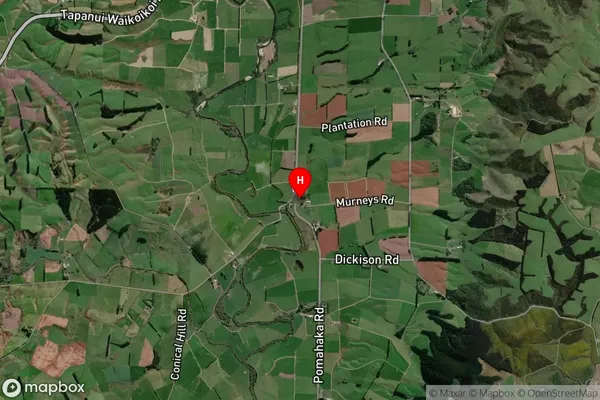
Pomahaka, Clutha District, New ZealandAddress Type
Locality in Town GorePomahaka Suburb Map (Satellite)
Country
Main Region in AU
OtagoPomahaka Region Map
Coordinates
-46.009483,169.2375156 (latitude/longitude)Distances
The distance from Pomahaka, Gore, Clutha District to NZ Top 10 Cities