Knapdale Area, Knapdale Postcode(9710) & Map in Knapdale
Knapdale Area, Knapdale Postcode(9710) & Map in Knapdale, Gore District, New Zealand
Knapdale, Gore District, New Zealand
Knapdale Postcodes
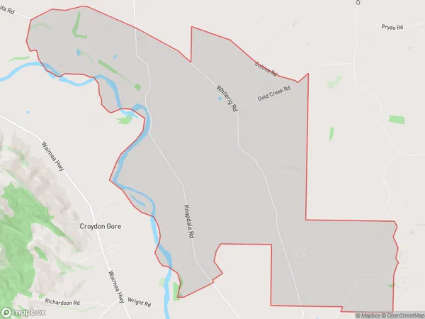
Knapdale Area (estimated)
32.1 square kilometersKnapdale Population (estimated)
96 people live in Knapdale, Southland, NZKnapdale Suburb Area Map (Polygon)
Knapdale Introduction
Knapdale is a small township in Southland, New Zealand, located on the banks of the Knapdale River. It is known for its scenic beauty, including the stunning Knapdale Forest Park and the picturesque Lake Te Anau. The area is popular with outdoor enthusiasts, with opportunities for hiking, fishing, and kayaking. The township also has a variety of accommodation options, including hotels, motels, and holiday homes.Region
Major City
Suburb Name
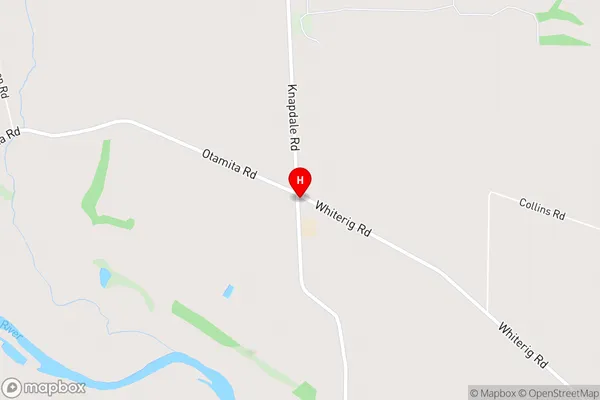
KnapdaleKnapdale Area Map (Street)
Local Authority
Gore DistrictFull Address
Knapdale, Gore District, New ZealandAddress Type
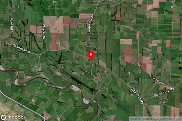
Locality in Town GoreKnapdale Suburb Map (Satellite)
Country
Main Region in AU
SouthlandKnapdale Region Map
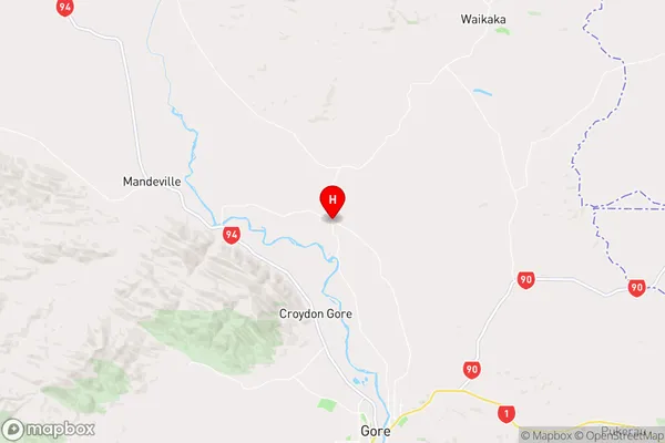
Coordinates
-46.0083488,168.9180994 (latitude/longitude)Distances
The distance from Knapdale, Gore, Gore District to NZ Top 10 Cities